Monthly Archives: August 2021

Road Trip – 21/06/23 Fortuitous Tire Repair Allows Return to Civilization

Prior post: http://blog.bucksvsbytes.com/2021/08/06/road-trip-21-06-21-the-mccarthy-road-former-railroad-track/

[NOTE: To enlarge any image, right click it and choose “Open image in New Tab” or similar.

Wednesday dawns (once again, a figure of speech since it never got dark) bright and blue. Bonnie brings down more hot muffins and we eat a hearty breakfast before I tackle the flat tire issue.
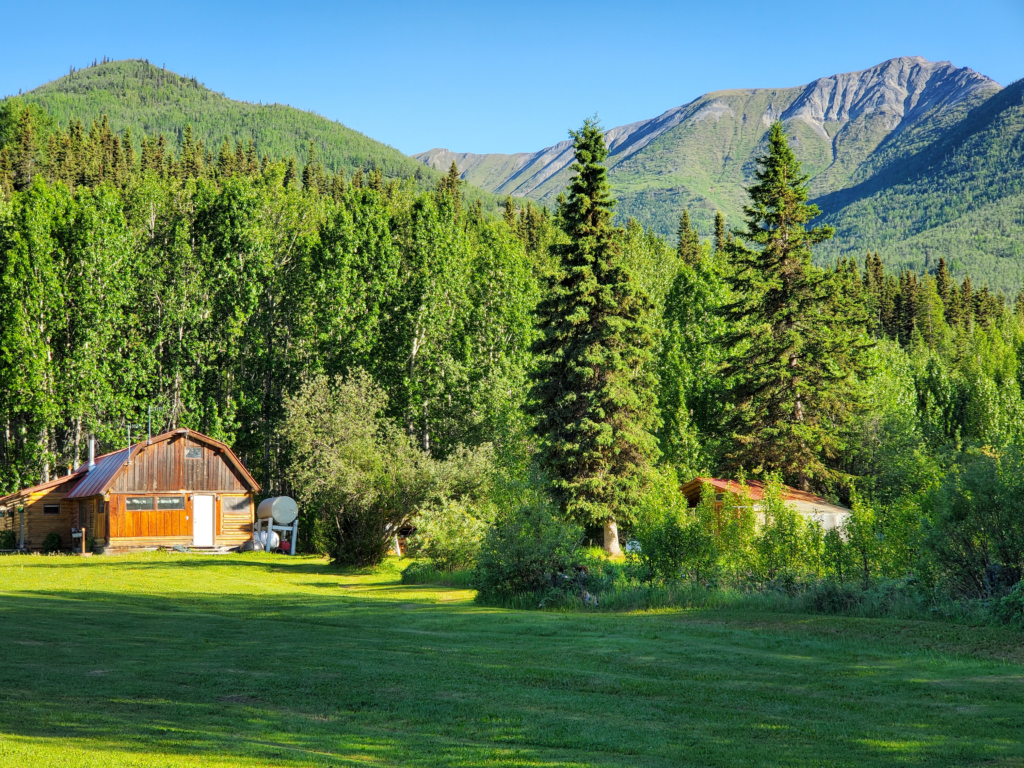
Morning at Aspen eadows B&B, McCarthy, Alaska.
Morning at Aspen Meadows B&B, McCarthy, Alaska.

Everyone living in remote Alaska needs an array of tools in order to be self-reliant so I’m sure the B&B owners have something as basic as an air compressor. Of course they do, so I drive the van over to their garage building and pump up my seriously deflated tire for the short trip to the flat fix guy’s shop. It turns out to be at one of the local airstrips, the one where aircraft are fueled up.

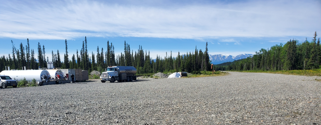
He’s a little late, so I occupy my time watching the air-related activity. A helicopter pilot is gassing up her 1994 Aerospatiale before rising into the sky (since my first experience in 1981, I’m always a sucker for helicopters) and another pilot accelerates his plane into flight along the gravel runway. When I lived here even some major airports lacked paved runways. In the 1970s, Wien Air Alaska became the first carrier to operate scheduled Boeing 737 jet service onto gravel runways in rural areas. When both aircraft are gone, a fuel truck pulls up to replenish the aboveground tanks of aviation gasoline.
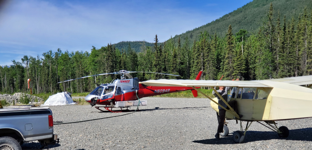
Airplane ready to depart, helo fueling up, McCarthy, Alaska
I wanna go with you, pleeease.
Aircraft gone, the fuel truck moves in on a McCarthy airstrip.

The tire guy arrives and introduces himself as Kaleb. He gets right to work and when he gets the wheel off the van and the tire off the wheel, we see that, as I thought, a nasty chunk of metal has penetrated the tire. It’s near the edge of the tread, angled in sideways so the interior end of the puncture is very near the sidewall. Normally, repair of such damage would be considered unsafe and the tire would be scrapped. The rules are a little different in McCarthy, though, since I’m at least 300 miles from a shop that might sell my size tire.
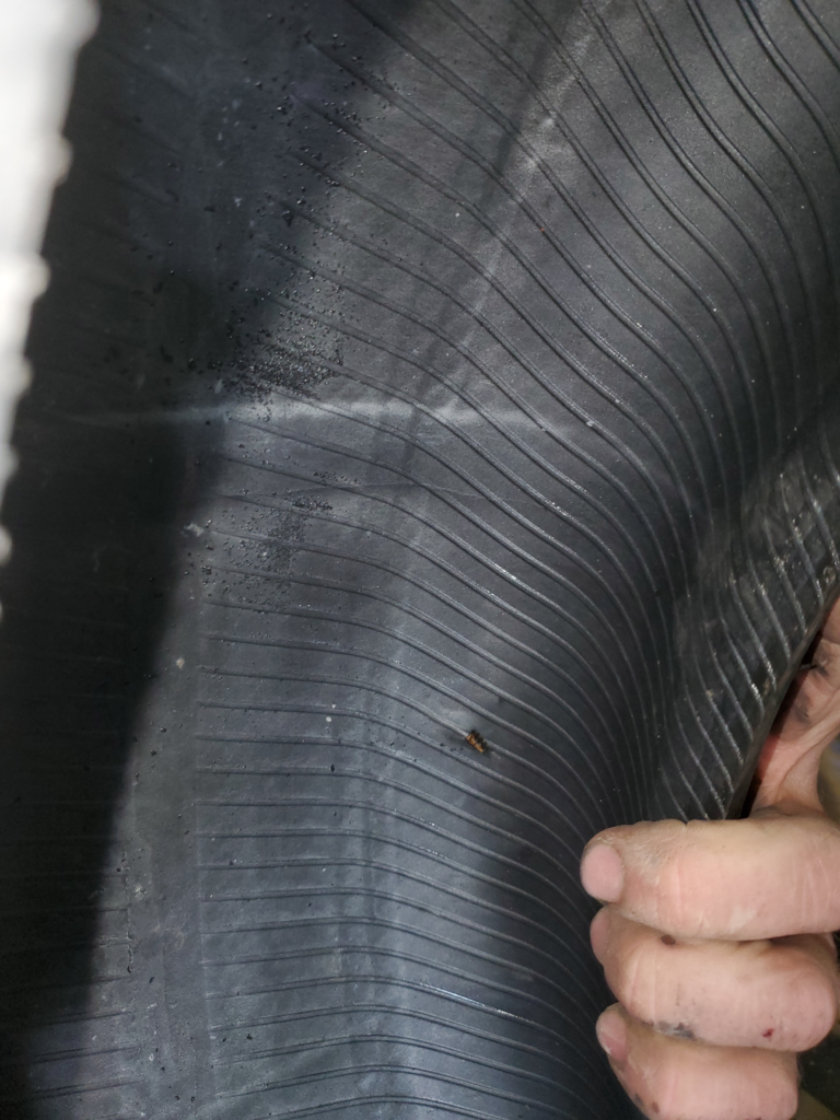
Tire puncture extending into dangerous sidewall territory.

Kaleb does a “best practice” repair of the puncture and remounts the wheel. Neither of us knows how long the tire will remain serviceable but at least it’s holding air now. His fee is only $30 — extremely fair considering where we are and that he could name almost any amount and get it from me. In isolated communities, it’s good practice to treat people well because you may need their help tomorrow, although there always seems to be one outlier who abuses everyone.

Whether the repair is permanent or not, the problem is solved for now and the trip can proceed apace. I drive back to the cabin and thank our hosts profusely for their help. We pack up our gear and head back to the McCarthy Road, 3 miles away. Before tackling the 62 mile westbound drive back to Chitina and pavement, we take a short hike up the west side of the Kennicott River toward the icy toe of the glacier.
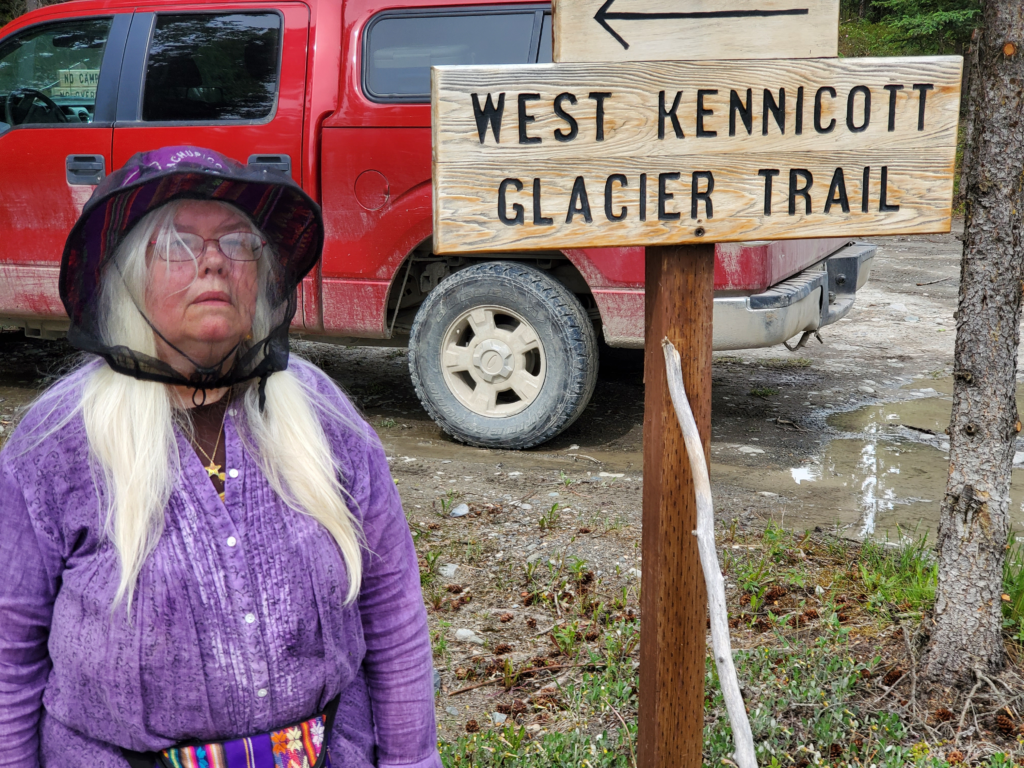
Susan at trailhead, girded for mosquito attack.

The trail is only 1.2 miles long and starts out through a mosquito infested forest. I deal with it by wearing my hat and pulling up the collar of my long sleeved shirt and swatting a lot, but Susan goes further and puts the mosquito net over her hat and head. She’s wearing a skirt, as usual, despite my endless warnings about what impractical hiking garb that is. She really dislikes wearing pants, though, so off we go.
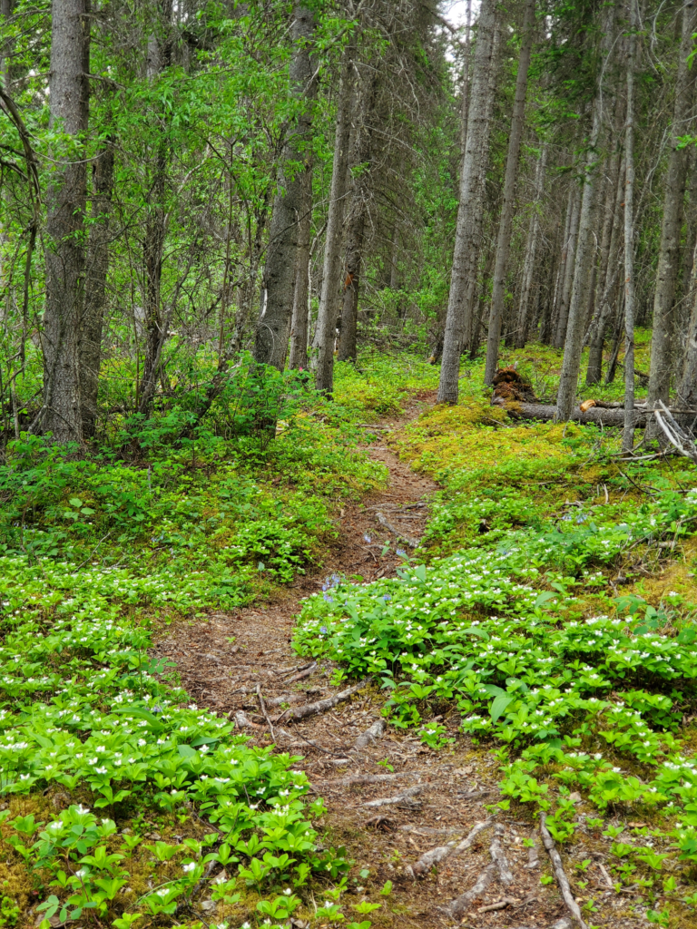
The mosquito-infested forest. "If you go into the woods today, you're in for a big surprise..."
The mosquito-infested forest. “If you go into the woods today, you’re in for a big surprise…”
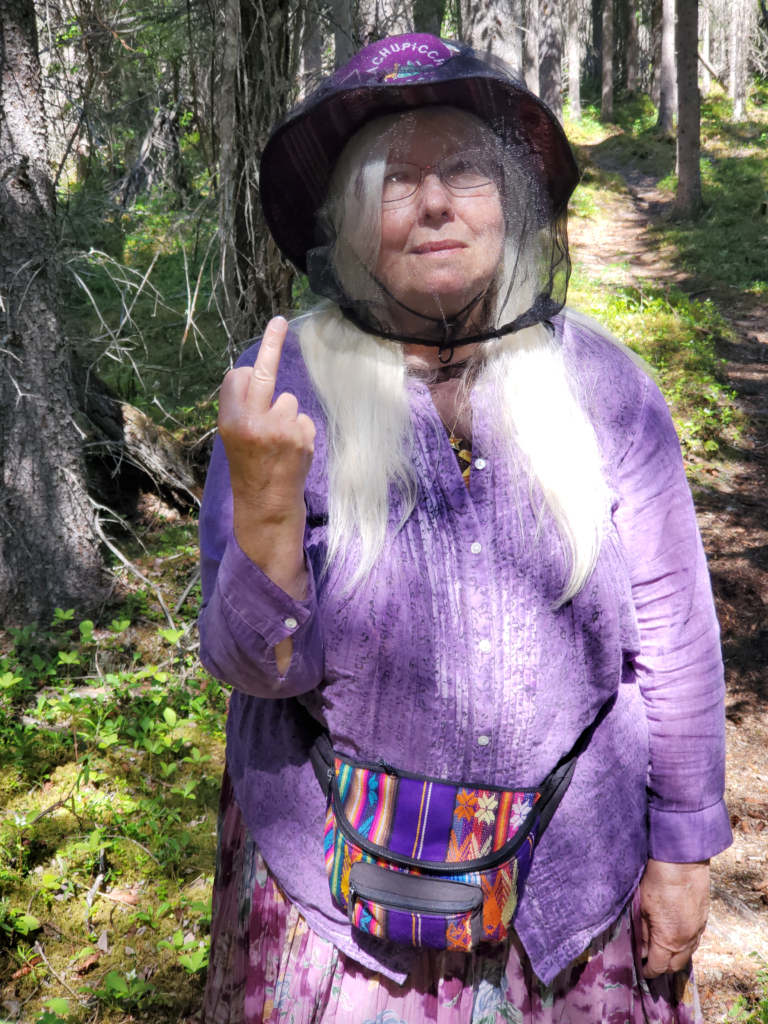
A message to several million hungry mosquitoes.

The trail is level and about a quarter mile out emerges from the forest into scrub vegetation and onto a 4-wheeler (ATV) trail. The mosquitoes thin out and Susan removes the head net.
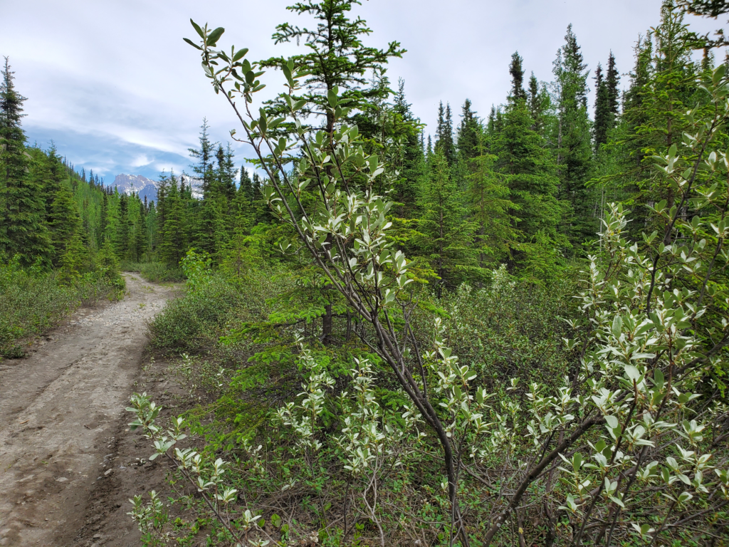
West Kennicott Glacier Trail. You could pass withn 10 feet of a bear and not realize it. The bear knows, though.
West Kennicott Glacier Trail. You could pass within 10 feet of a bear and not realize it. The bear knows, though.

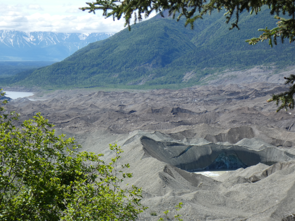
We’re the only people on the trail this morning, which now runs along the base of a high gravel bluff, the lateral moraine debris deposited when the glacier extended down the valley much further than it does now. These moraine bluffs, composed of lightly consolidated gravel, lend themselves to landslides and we cross a couple of major, but old, slide scars where the trees have been wiped out.
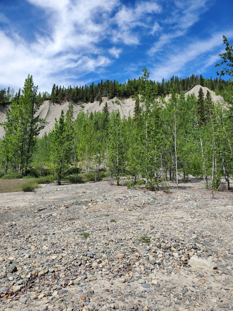
Lateral moraine bluffs left after glacier receded.

Beyond the bluff, the trail drops down off a bench to a lower level of old glacier bottom. The transition involves a steep section of trail about 50 feet long with loose gravel footing. Susan is very nervous about any steep downhill and this one merits caution. I advise her that she should slide down this section on her butt — no big deal in jeans, but quite difficult in a skirt. After trying to avoid the inevitable, she does the slide, but very awkwardly while attempting to avoid thigh skin-to-trail contact.
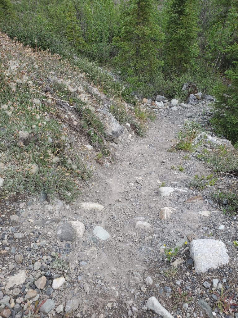
The butt slide. The photo doesn't really shw the steepness until you notice the tall, vertical spruce trees at the bottom.
The butt slide. The photo doesn’t really show the steepness until you notice the tall, vertical spruce trees at the bottom.

Once at the bottom, the trail resumes a flat but rocky course toward the edge of the ice and meltwater pools.
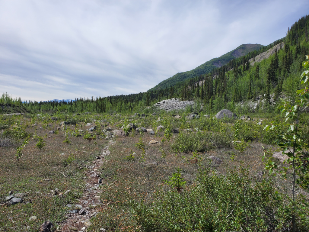
The final portion of the trail, a flat and rocky glacial floor.

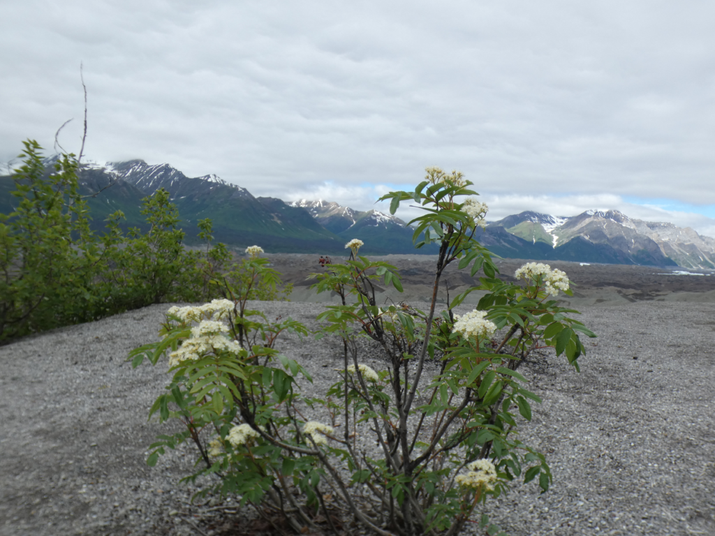
When a glacier recedes, the melting ice exposes bare, soilless bedrock. This area is slowly recolonized by plants. In warmer southeastern Alaska, the progression at sea level from bedrock to mature rain forest takes only about 200 years. Here, up north, at 1400 foot elevation and in a much harsher climate, the succession takes much longer. Low plants and some bushes have taken hold but there are still many exposed rocks colonized by a variety of colorful lichens.
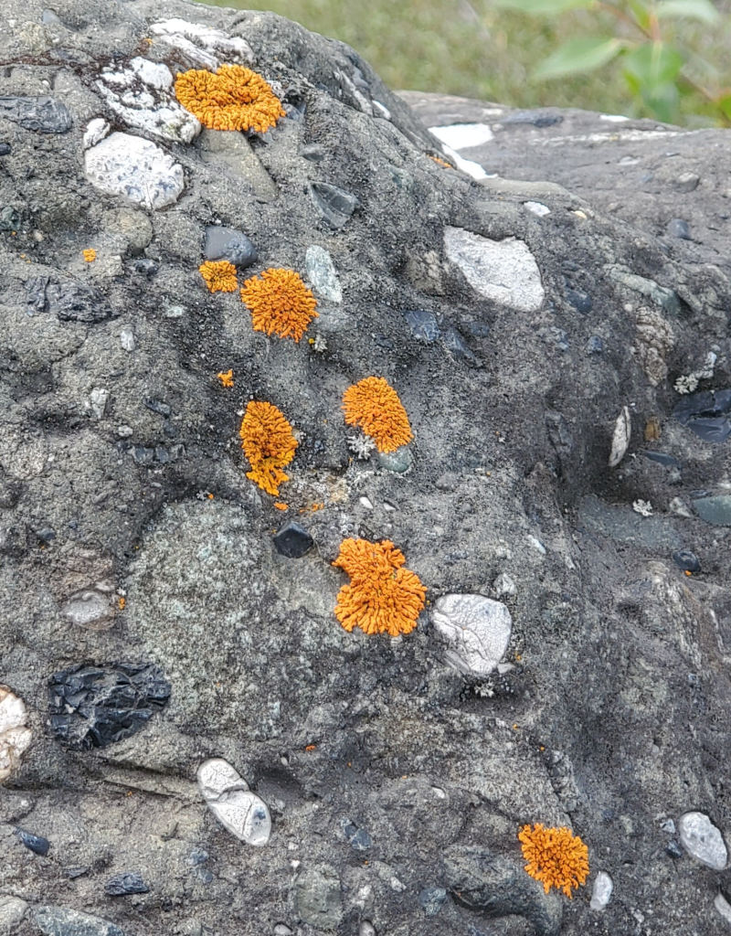
Glacial boulder. When a melting glacier exposes new roxk, lichens are always the first to the party.
Glacial boulder. When a melting glacier exposes new rock, lichens are always the first to the party.

In case you forgot your high school science, although I’m sure it’s still fresh in your mind, a lichen is not a plant. It’s a symbiotic community consisting of a fungus, an alga, and (only recently discovered) a yeast. The fungus secretes acids and can thus absorb minerals directly from rock, the alga photosynthesizes food, and the yeast, perhaps, contributes physical structure to the group. This 3-way partnership benefits everyone and as a result lichens are found almost everywhere there is light.

Glacial moraines often have interesting rocks because most of them have been transported many miles on the ice so one area can display quite a bit of variety.
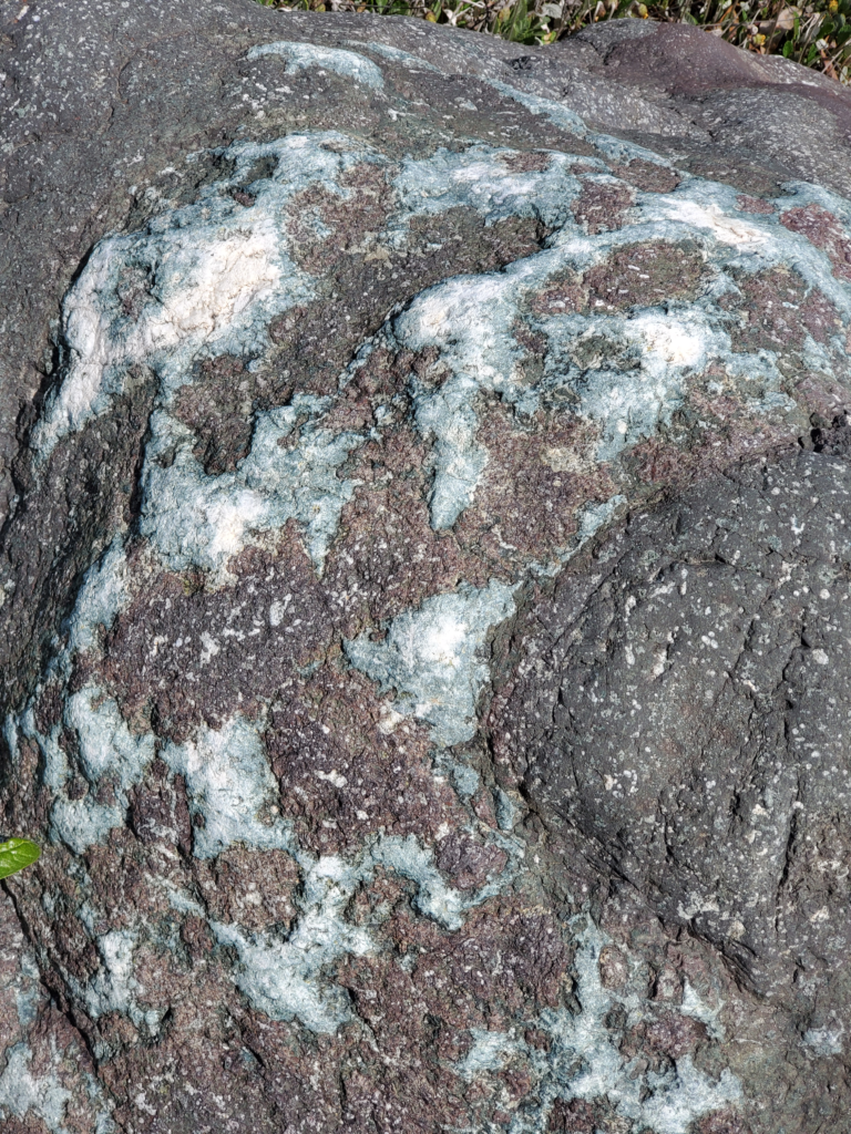
Glacially transported boulder with quartz outcroppings.

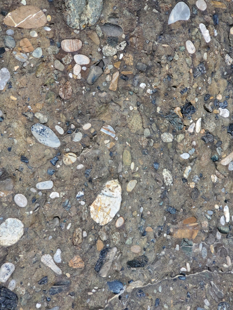
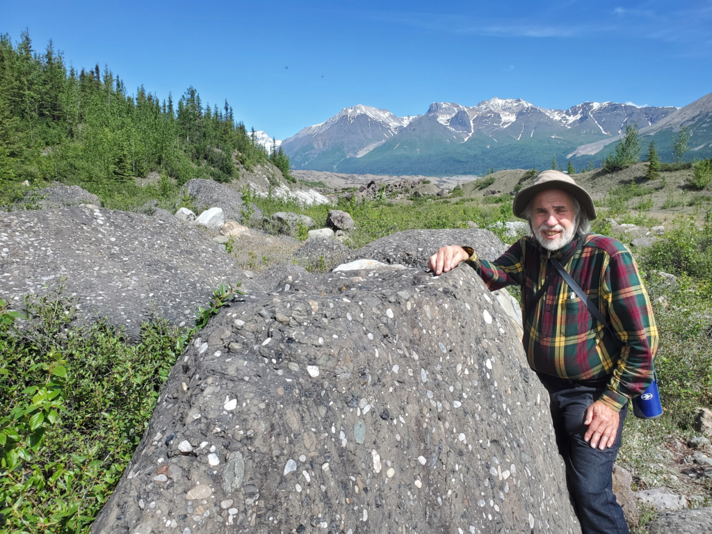
Where we’re walking, there’s quite a bit of conglomerate, rock created from ancient river deltas where pebbles of various sorts have been compressed into a matrix of mud or silt. It’s sometimes called puddingstone. I’ve always found these interesting and attractive and Susan is fascinated by the geological history they represent.
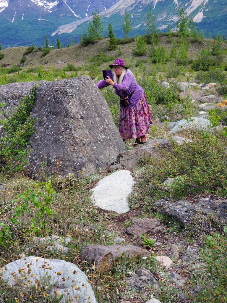
Susan and rocks -- a love story.
Susan and rocks — a love story.
Conglomerate boulder droped by melting glacier.
Conglomerate boulder dropped by melting glacier.
Puddingstone conglomerate closeup.

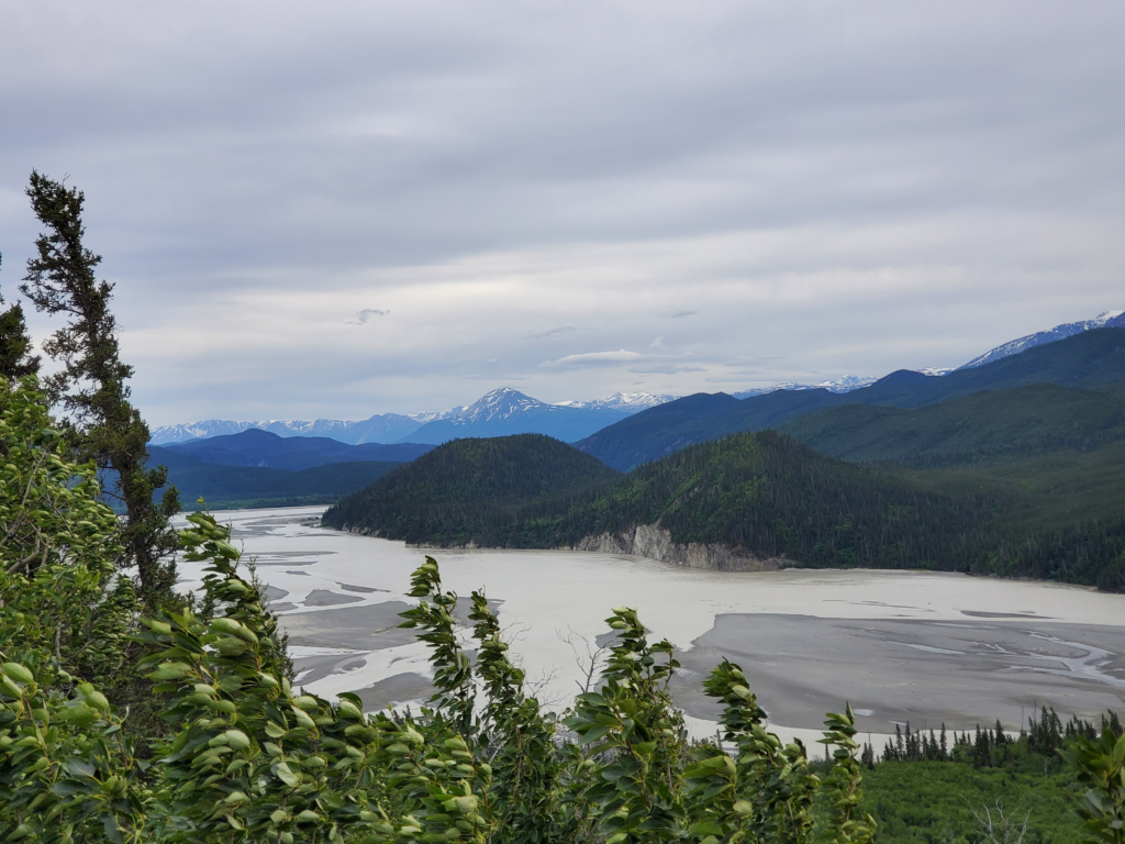
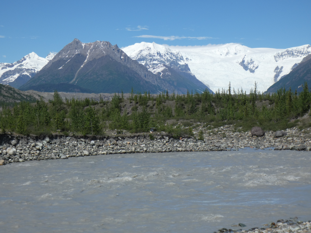
The sky is almost cloudless and we have an unobstructed view of the Kennicott and Root glaciers as they cascade from the high icefield down a steep slope many thousands of feet high.
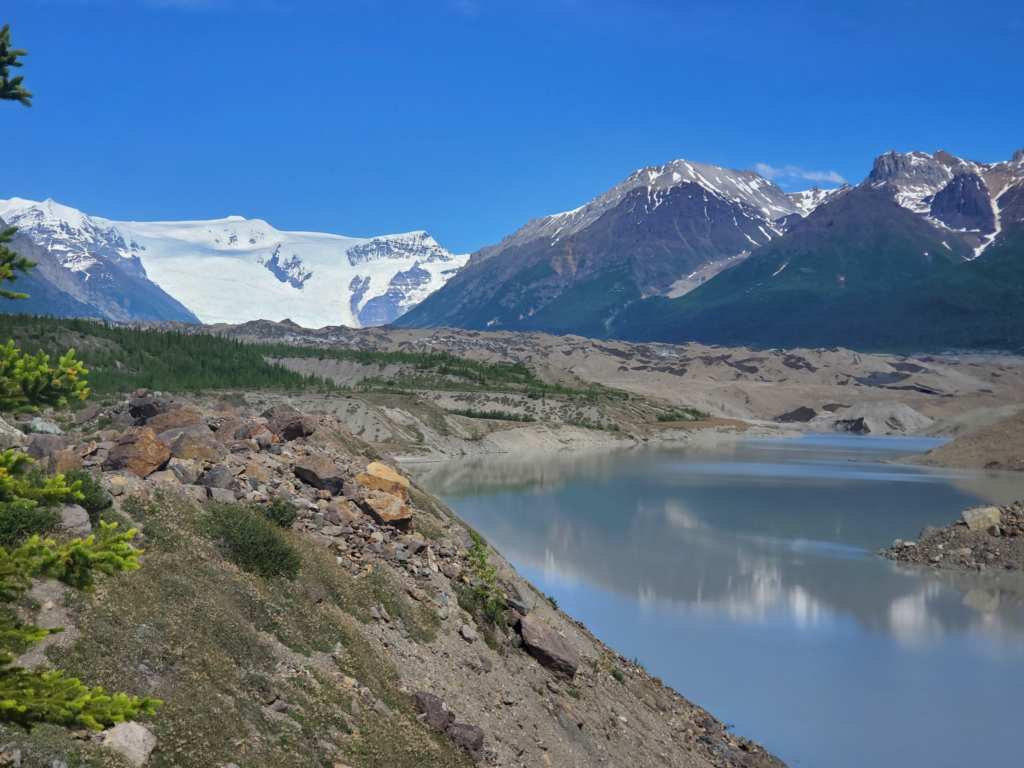
End of the trail. Meltwater in the foreground, rock covered glacier behind, icefield and massive icefalls in distance.
End of the trail. Meltwater in the foreground, rock covered glacier behind, icefield feeding massive icefalls in distance.

We also have a clear view of the Kennecott Mill over 3 miles away.
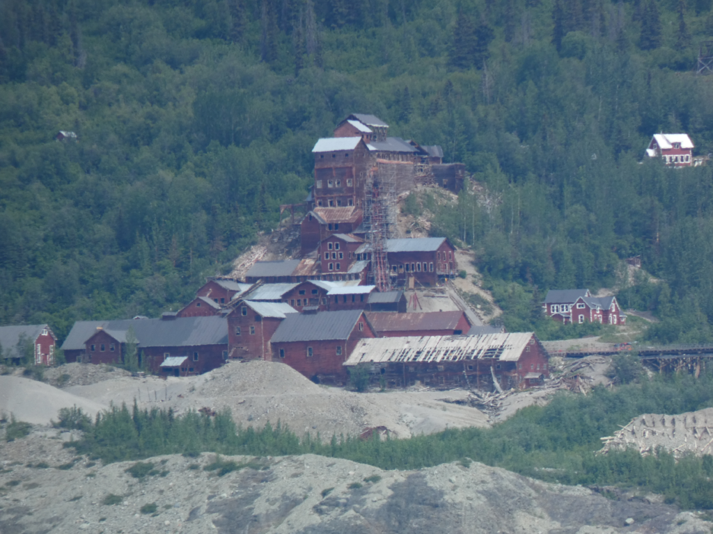
Kennecott Mill seen from the other side of the glacier.

For me, it’s always more rewarding to experience my surroundings off the road. In part, it goes back to my German-rooted belief that if you’re not suffering, you’re missing out on the good experiences. Scenery seen from the car window is vastly inferior to the same view after a hard hike up a rough trail — in a cold rain.

After enjoying our rugged surroundings and expansive views for a half hour or so, we backtrack the same route to the trailhead and the van. By coincidence, we’ve timed our hike just right as the high overcast starts to move in and obscure the blue sky. The 2.5 mile walk yields an epochal benefit — after years of resistance, Susan declares that bluejeans are a necessary accommodation for the outdoors. Hallelujah! The walk is also an important precursor to another long day on the road. Our drive back to the resumption of pavement in Chitina is uneventful. We take it slow and stop to admire various scenes.
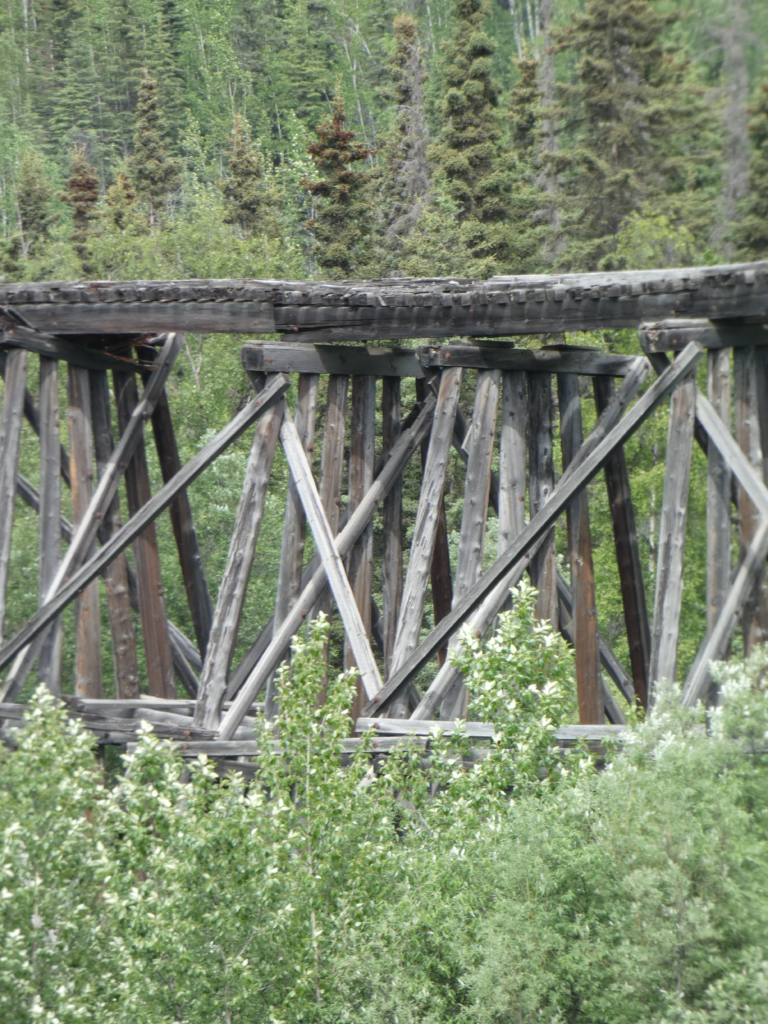
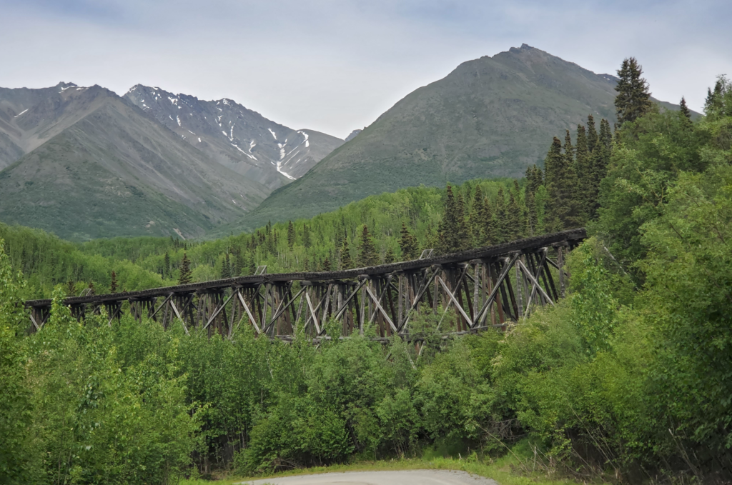
The Gilahina rail trestle -- abandoned and deteriorating.
The Gilahina rail trestle — deteriorating but hanging in there for over 80 brutal Alaska winters since abandonment.
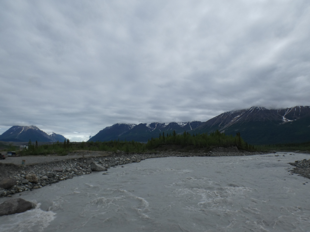
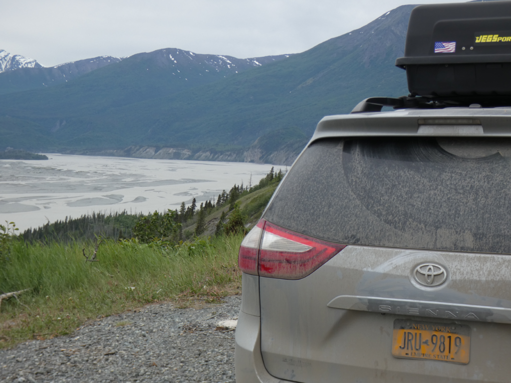
Almost back to pavement. Confluence of the Chitina and Copper Rivers.
Upstream view of the Chitina River, near Chitina, Alaska.

The tire holds, as I suspected it would, and we gain confidence that we can proceed as planned rather than shooting straight to Anchorage where car problems can be more readily dealt with.

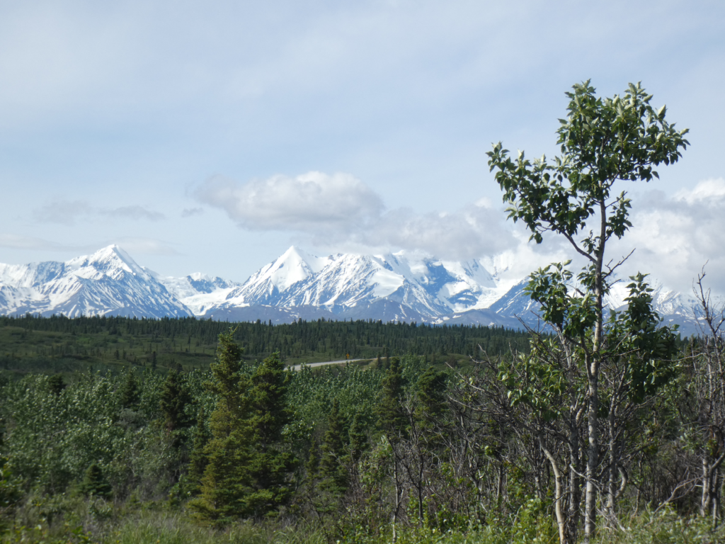
Retracing the Edgerton Highway from Chitina, we’re treated to dramatic views of some the Wrangell Mountains. They’re no longer totally obscured by clouds as they were on our way in because the overcast is now higher than the peaks.
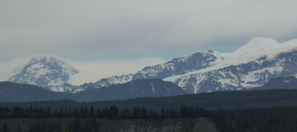
Clouds lift enough to give us a pretty decent view of the high Wrangell volcanoes.

The highway tees and we turn south back onto the Richardson to make the 86 mile dead end drive to Valdez. The road and scenery will be familiar to me because I drove there many times while I lived in Alaska.

The road follows valleys through the center of the Chugach Mountains. This is the northernmost segment of the Pacific Coast Ranges, which ends rather dramatically at the eastern edge of the flat peninsula occupied by the city of Anchorage. The Chugach range is extensive, 250 miles from east to west and 60 miles from north to south — about the size of all of Switzerland — with peaks ranging to 13,000 feet. Bear in mind these extensive mountains are just a small piece of Alaska as a whole.

About halfway along, the flat valley runs out and the road starts to climb toward a pass.
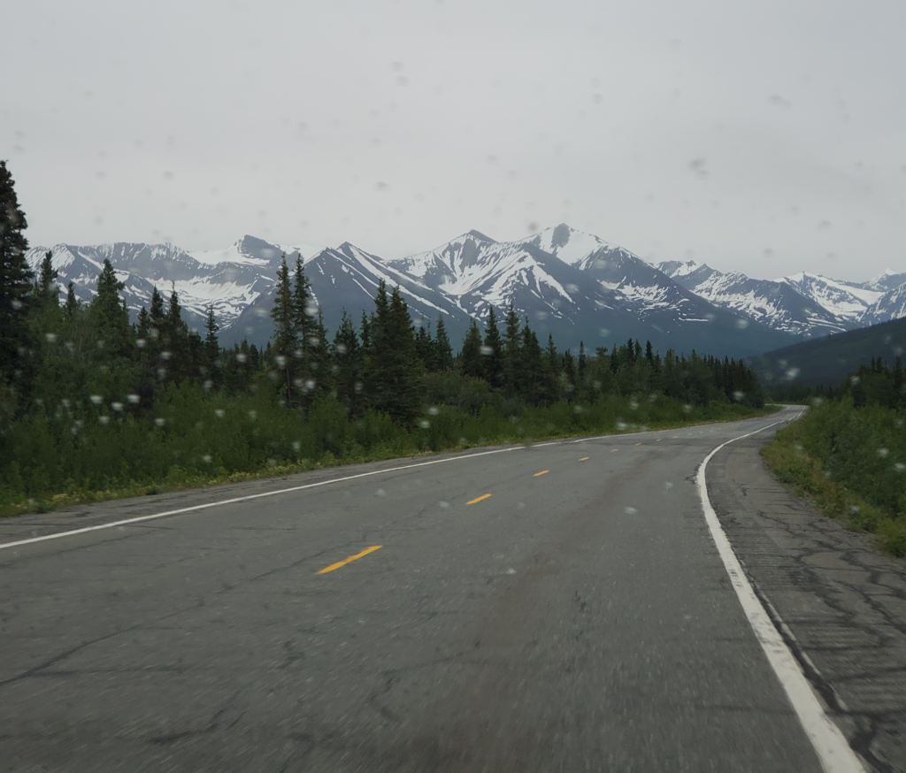
Southbound to Valdez, the Chugach Mountains rise ahead of us.

High mountains surround both sides. Even in June they’re sheathed with a lot of snow. Hanging valleys are always above us, many still containing the valley glaciers that carved them. Waterfalls descend from every one. Valdez and its surroundings get a lot of precipitation and today is no exception. We make the transition from high overcast to low clouds and quite a bit of rain. I don’t consider this bad weather because it’s a major part of the area’s dramatic beauty.
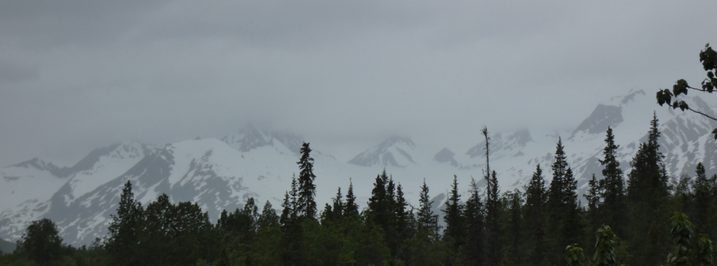
Highway to Valdez surrounded by snowy Chugach Mountains -- in late June.
Highway to Valdez surrounded by snowy Chugach Mountains — in late June.

As we climb, a turnoff to the right accesses Worthington Glacier, one of Alaska’s few “drive up” glaciers. Because we want to get to Valdez before the hour gets too late, we take a very quick look and move on.
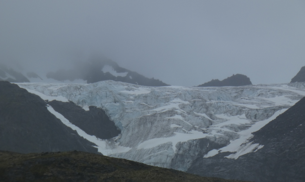
Worthington Glacier
Worthington Glacier

The road continues to climb to Thompson Pass, only 2600 feet high but the recipient of a prodigious amount of snow in winter, averaging 500 inches. The very important Richardson Highway from Fairbanks to Valdez first carried auto traffic in 1913, but for decades was closed in the winter because the Alaska Road Commission presumed the pass could not be kept clear of snow. In 1950, a freight company foreman took it on himself to plow the road all winter to prove it could be kept open and thus shame the Commission into taking on the job. Imagine how frustrated and angry you’d have to be to go to those lengths. He picked just the right time to set the precedent, too, because 3 years later the Commission had to cope with a Thompson Pass record of 974 inches of snow!
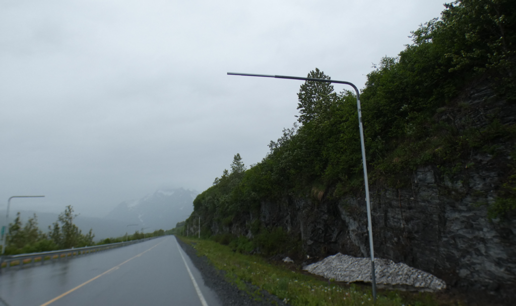
Thompson Pass. Note the height of the snow poles used to show snowplows where the road is.

In summer, we don’t have to deal with any of that and just enjoy the change from lush vegetation to harsh tundra and back to lushness as we descend.

On the Valdez side, the road goes through Keystone Canyon, a short but impressively narrow cleft with almost vertical walls formed over the ages by the Lowe River. The high walls feature a dozen or more significant waterfalls on both sides draining the high, alpine slopes. We breeze by this, too, in our desire to reach Valdez and knowing we’ll be coming back this way on the way out of town.
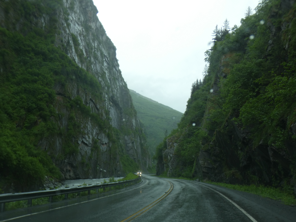
Keystone Canyon near Valdez, Alaska

The last 17 miles into Valdez is through the flat flood plain of the Lowe River, still surrounded by high mountains of which we see only glimpses through the low clouds. Our main concerns right now, after 9 PM, are finding an open restaurant for dinner and a place to sleep since Valdez has never been known for great food and economical overnights. Dinner is procured at an Asian restaurant, because it’s about the only place still open. Fortunately, the food is good and the price reasonable. To Susan’s surprise, their menu includes bulgogi, a Korean dish she hasn’t eaten in many years.
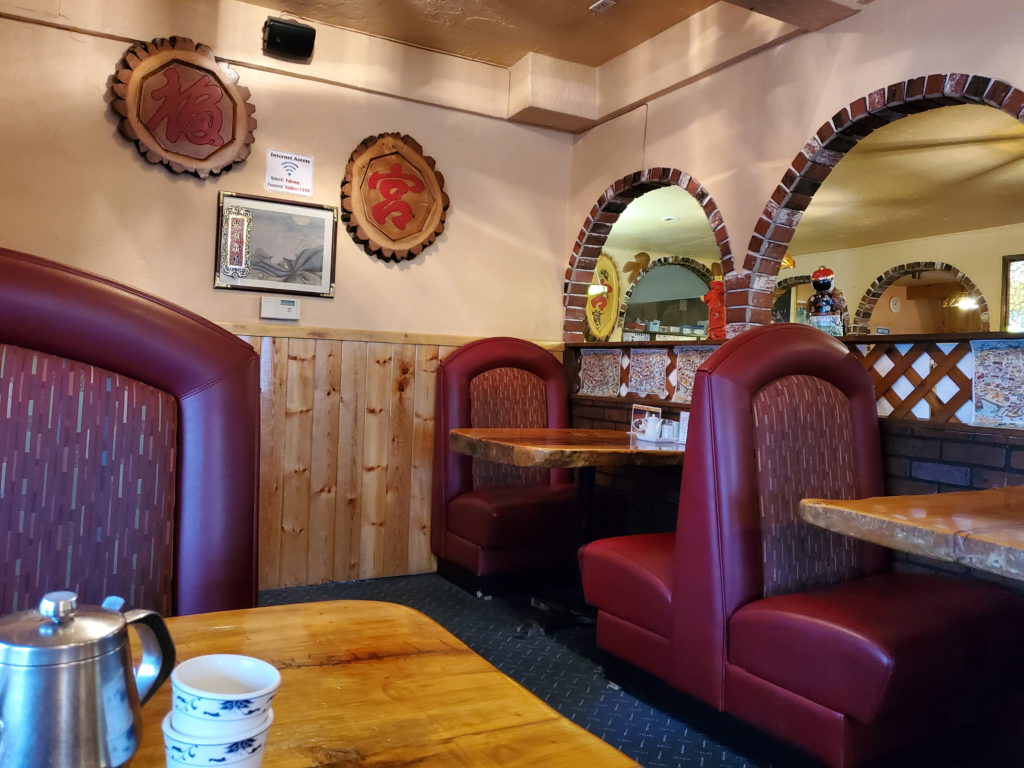
The only late night restaurant in Valdez, Alaska. Much appfreciated.
The only late night restaurant in Valdez, Alaska. Much appreciated.

After our meal, 10 minutes of driving around the small town yields an inconspicuous place to park in a large gravel patch adjacent to Mineral Creek. Now that we’re 250 miles south of Fairbanks, there’s at least a pretense of darkness for a few hours, but we’ll sleep through it on our comfortable airbed in the van.

Road Trip – 21/06/22 Twentieth century Yankee ingenuity: the Kennecott copper mine… and a difficult problem in McCarthy.

Prior post: http://blog.bucksvsbytes.com/2021/08/06/road-trip-21-06-21-the-mccarthy-road-former-railroad-track/

[NOTE: To enlarge any image, right click it and choose “Open image in New Tab” or similar.

We’re up early in our cabin ready to explore the Kennecott Mines National Historic Landmark, 5 miles along the old railroad right of way beyond the little village of McCarthy. Aspen Meadows B&B owner, Bonnie, brings down fresh muffins. These, along with juice, milk, coffee, and other supplies, put the second B in B&B.

Full of breakfast, we drive the 3 miles back to the McCarthy footbridge, again pay the daily parking fee, and hoof it across the Kennicott River. Yesterday was totally cloudy which precluded seeing any of the surrounding peaks. It’s another case of Alaska visitors having to settle for, “Trust me. There are some awesome mountains right there behind those clouds.” We’re in the Wrangell Mountains, which I know from many distant views in the old days are magnificent volcanoes rising to over 16,000 feet. One of them continues to show low level activity to this day. We couldn’t see anything above 6,000 feet yesterday and this morning isn’t any better.

Morning clouds over McCarthy/Kennecott are just at level of modest nearby peaks. High mountains are invisible today.
Morning clouds are just at the level of modest nearby peaks. High mountains are invisible again today.

In Alaska, I assume it’s going to rain or snow. You plan your outings anyway and any more hospitable weather is just a bonus. When I lived in Juneau, where it rains 220 days a year and is cloudy on most of the rest, we couldn’t wait for sunshine to play outdoors because we’d never do anything. We picnicked in the rain, played frisbee in the rain, and kayaked in the rain.

Since the mine site is 5 miles off, today we opt for the van waiting at the east end of the bridge and take the slow, rough, one lane ride to the Landmark entrance, trading stories with the driver all the way. To distinguish myself from the cheechako (anyone who hasn’t endured an Alaska winter) tourists, I invariably mention that I lived in Alaska for many years which generally triggers a narration of competing tales and reminiscences.

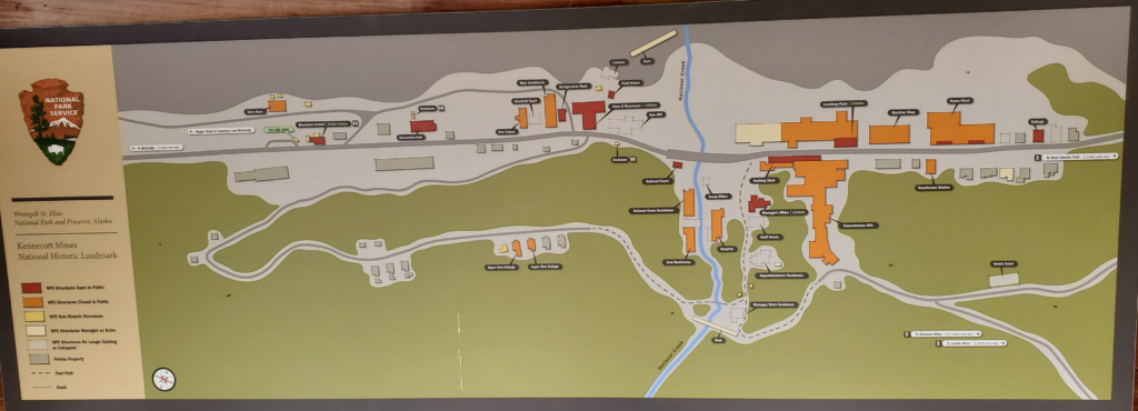
The Kennecott mining camp is linear, sandwiched between a steep mountain slope on the east and the Kennicott Glacier on the west. By the way, there’s no spelling typo in the preceding sentence. The glacier is spelled with an “i” but a clerical error in setting up the corporation resulted in the mine being spelled with an “e”. The mill building dominates the camp. The five copper mines are miles away in the high mountains, so ore was brought to the mill by an extensive network of aerial tramways.

Map of Kennecott mining camp showing linear layout, sandwiched between glacier (top) and mountainside (bottom).

Although the local Ahtna natives used copper for generations, its existence near the Kennicott Glacier became known to outsiders only in 1899. Geologists quickly determined that the site had the purest copper ore then known.

The mine ran from 1911 to 1938 and generated $200 million dollars worth of copper ore, more than enough to merit the extraordinary expense of such a remote operation and the 200 mile railroad built to service it. Everything was owned and funded by the Guggenheim and J P Morgan families (contemptuously known by their contemporary detractors as “Guggenmorgan”) and decisions were ruthlessly made on the basis of expected profit. It was a perfect example of the robber baron era. Kennecott’s namesake corporation later expanded with major operations in Utah and Chile that are still operating today.

When the ore ran out in 1938, the entire operation was shut down. Although some valuable and portable equipment was shipped out by train, along with personnel, the vast majority of the mining camp was left intact. The railroad was also abandoned in place.

Kennecott remained a ghost town for 38 years. During that period, the handful of area residents scavenged material and objects from the mill town. In 1976, the area was subdivided and lots offered for sale. Despite the difficult, remote access, a number of lots were developed by their owners.

When Wrangell-St Elias National Park was created in 1980, the Kennecott site became a large, private inholding in the middle of it. Very gradually, people started coming here to access the extensive wilderness and explore the abandoned camp, in which the private lots are interspersed. In 1998, the Park Service purchased most of the Kennecott site, excepting the lots that had been sold. It then began a collaborative but fraught process of preserving the mining heritage and encouraging visitors but maintaining the non-motorized wilderness character of a vast surrounding area, all while coexisting with Kennecott and McCarthy property owners. As you may imagine, this often does not go very smoothly.

Despite their remoteness, McCarthy and Kennecott attract tens of thousands of visitors each year. This is almost literally nothing compared to the hordes visiting Yellowstone and Yosemite but it’s still a large number for an area with such limited facilities. This year, though, because of the continuing closure of Canada to tourists, the visitation is way below normal. Most Alaska car rental agreements prohibit taking cars to McCarthy, so you pretty much need a private car to get here, or charter expensive air transportation. We’re one of very few out-of-state vehicles in Alaska this summer, and far as I can tell, we’re the only one here in McCarthy.

We start our walk through the town and are pleasantly surprised to find lots of interpretive signs that give meaning and context to what we’re seeing. Very substantial construction efforts are also underway to restore some of the deteriorated buildings so they can be safely entered. All the original buildings, except the hospital, were painted red by the mining company. Why? It was the cheapest paint color.

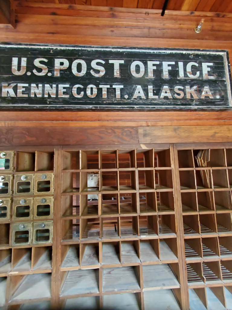
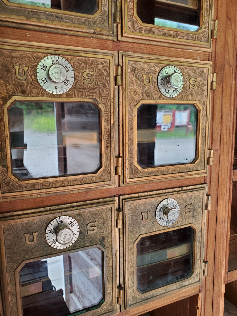
The old post office is now an exhibit hall, with 2 films about the park, a panel of mailboxes, and various artifacts and photographs. By the end, we’re getting a pretty good feel for what life was like for the miners — hard but reasonable. The mines and the mill operated year round. Frigid cold was just dealt with.

Restored 1938 post office.
Kennecott post office boxes abandoned in 1938..
Kennecott post office boxes abandoned in 1938.

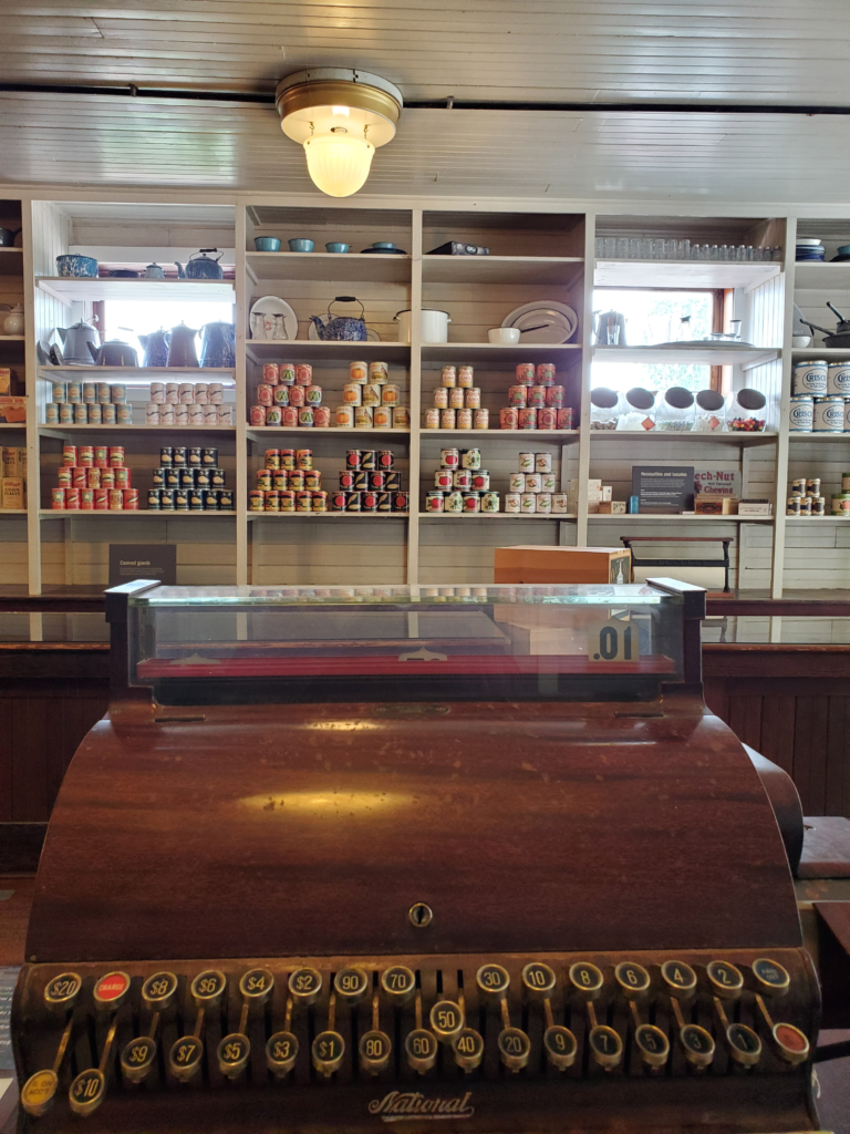
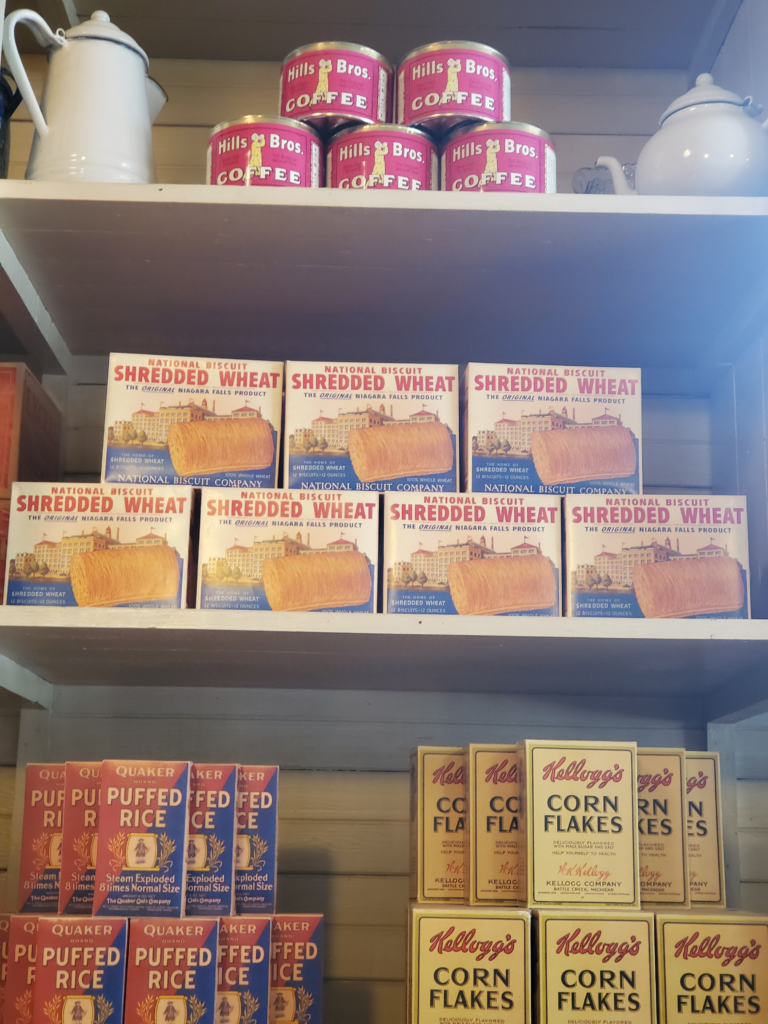
Our next stop is the company store, which is hardly changed from its operational days. Replica packages of items actually sold there re-create what it must have felt like to walk in. Unlike some company monopolies, Kennecott didn’t gouge its employees although prices had to be quite high just to operate at breakeven.

The Kennecott restored company store.
Replicas of actual products sold in the company store at least 83 years ago. There are many familiar grocery items.

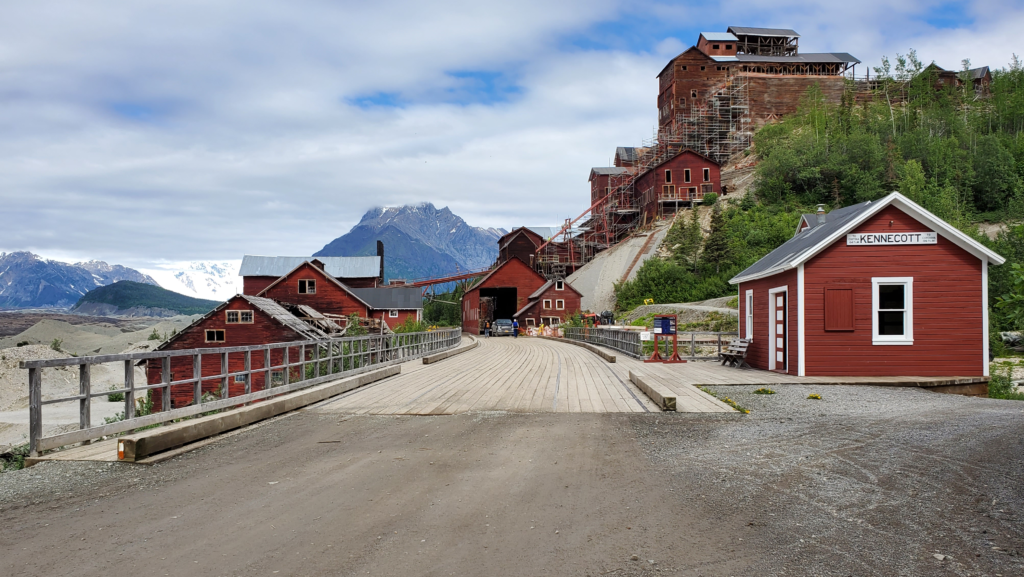
Ahead is the small Kennecott railroad station building , where passengers got on and off. Immediately beyond it is a wide wooden trestle, built for heavily loaded copper ore cars, across the rushing waters of National Creek with the town’s centerpiece looming over the far side. This is the 14-story mill structure — where the raw ore was concentrated and made ready for shipment to Outside refineries.

End of the Copper River & Northwestern Railway. Passenger depot in foreground and ore loading area at bottom of mill across trestle.

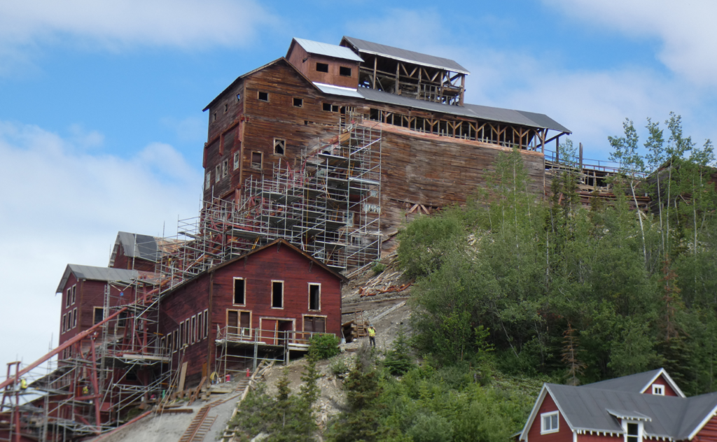
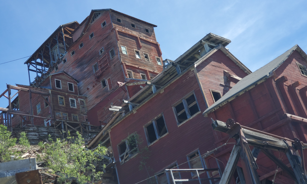
The mill is reputed to be the tallest wood building in the world, although it cheats a bit by not being free standing. Built into the steep hillside, it has ground support all the way from bottom to top. Although never demolished, the mill seriously deteriorated over the decades of abandonment. The roof was lost either to storms or salvage, and that allowed much further damage throughout the structure.

Private donors and the Park Service undertook various preservation efforts and now the mill is a major construction site as scads of engineers, workers, and equipment make progress on stabilizing the giant structure and eventually opening it to the public for interpretive purposes.

Kennecott ore processing mill showing restoration scaffolding.
The 14 story wooden mill being stabilized and restored.

All we can do at the moment is admire its striking size and engineering from various exterior points and learn about the elaborate processes used to separate the copper from the various types of ore rock coming down the tramways in huge amounts. Starting with rock crushers at the very top and proceeding through a half dozen concentrating techniques, we’re amazed to learn that over the life of the mine, the mill extracted an astounding 97% of the copper content on site and sent it south by rail and ship. This was an incredibly efficient operation, designed to wring out every last bit of profit.

Since the rail line was often temporarily shut down for damage repair during winter and spring, much of the ore was stored in 140 pound sacks and loaded onto the next available train.

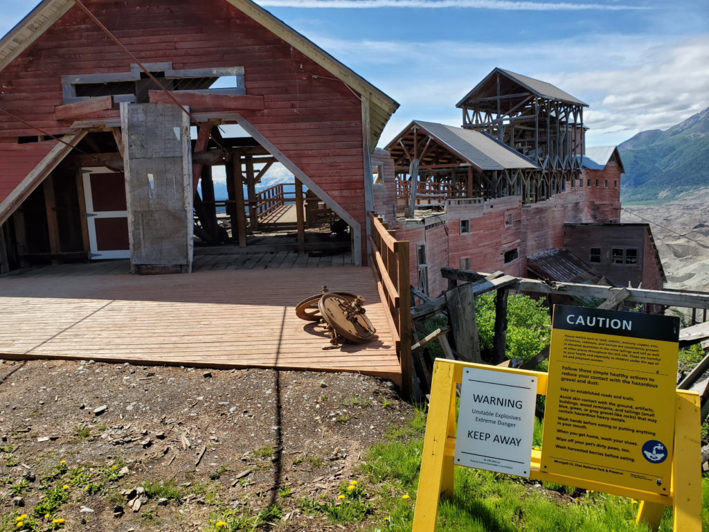
Leaving the main level, we follow rough roads and steep trails up the side of the mountain, circling around past the top of the mill where the tram-delivered ore was received and began being processed.

Upper level of mill at terminus of aerial trams. Tram cars dumped there loads inside into crushers. Rooves in background are new to protect mill structure and contents.
Upper level of mill at terminus of aerial trams. Tram cars dumped their loads inside into crushers. Roofs in background are new to protect mill structure and contents.

I should mention that wherever you are in town, a glance to the north or west encompasses stunning views of the glaciers and steep mountains. It’s easy to see why people went to great effort to build cabins and houses on the very remote Kennecott lots offered for sale.

Almost every spot in Kennecott features expansive views of glacier and mountains.
Almost every spot in Kennecott, including the main street, features expansive views of glacier and mountains.
Delicate flowers in bloom along the upper road.
Glacier and mountain view from one of Kennecott's upper road private lots.
Glacier and mountain view from one of Kennecott’s upper road private lots.
A private home on the upper road.

The clouds have been steadily clearing all morning and as we walk the upper road, the sun is quite fierce and the distant views are constantly improving. The whole tenor of the valley changes for us as blue sky prevails over clouds.

The high volcanoes appear as the clouds dissipate.
Susan in the newly arrived bright sun on the Kennecott upper road.
John on the Kennecott upper road.

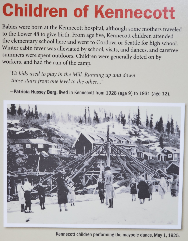
Coming back around and down off the mountain to the end of town, we find signs describing Kennecott family life.

Descending from the upper road back to main camp level.

Although most of the mine and mill workers were here alone with loved ones thousands of miles away, some of the management and clerical personnel lived here permanently with their families. The solo workers lived in large dormitories and ate in dining halls.

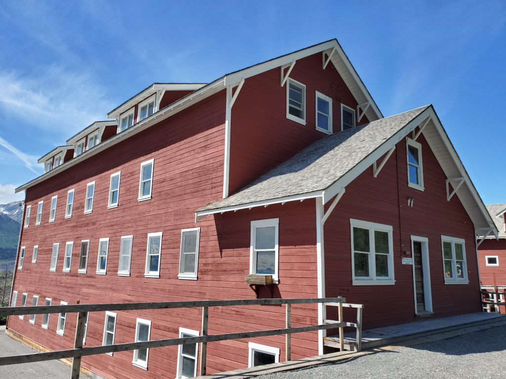
Employee dormitory in the Kennecott mining camp. Mineworkers commuted between camp and mine workings high above treeline via open tram cars, summer and winter.

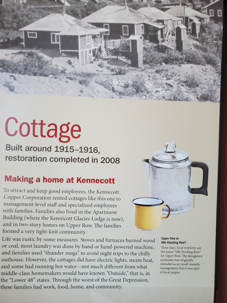
The white collar workers, whether or not their families were with them, lived in cottages or apartments.

Despite the focus on productivity, a number of families lived in Kennecott. Note the amount of snow still on the ground on May Day.
Despite the focus on hard work and productivity, a number of families lived in Kennecott. Note the amount of snow still on the ground on May Day.
Interpretive sign describing family housing in the Kennicott mining camp.
Interpretive sign describing family housing in the Kennecott mining camp.

By 3 PM, we’ve had our fill of gawking and reading and learning and walking, so we prepare to leave Kennecott. The clear weather is persisting and I suggest the possibility of chartering a small plane for a flight toward the high peaks of the Wrangell Mountains.

The weather has cleared, the high peaks are out. If only we could afford to charter a flightseeing trip.

Inquiries at the office of the only flying service in town result in a determination that the flight pricing equates to an hourly rate of $600. This is absurdly expensive for a small plan, so we abandon the idea despite the good flying weather. We board the shuttle van back to the footbridge and return to our van on the other side. This is where [sarcasm alert] the fun begins.

Returning to the parking lot across the Kennicott River.

As I begin to pull out of the parking lot. the van’s Tire Pressure Monitoring System (TPMS) warning is prominently lit. At least one tire is seriously below its required pressure, and TPMS often signals a fully flat tire. The area now serving as rough, rocky private parking undoubtedly has a rich history of prior uses and I immediately suspect some errant piece of historic metal has penetrated a tire. I guess I should be honored.

I put a gauge on the tires and find the right rear down to about 20 psi — at least it’s just a slow leak. Normally, I carry a 12 VDC tire inflator, but both of the ones I’ve brought have apparently reached their retirement age because they’ve stopped working so I don’t have the option of trying to make it back to civilization with repeated inflations. As I’ve said before, these are run-flat tires and can support the car — for a while — even when uninflated and, thus, there’s no place dedicated to storing a spare wheel. This could easily be the most remote place in remote Alaska to not have a spare (this later turns out not to be true).

I carefully exit the lot and head to a place a short distance away I noticed earlier that sports a “flats repaired” sign. The only structure there is an outhouse-sized shed. Looking inside, I see a note explaining that you leave flat tires on the left side along with cash payment. When repaired, they’ll be deposited on the right side for pickup. This arrangement is useless to us. With no spare, I can’t remove a tire and leave it for some unknown period, and I suspect the proprietor wouldn’t appreciate my demolishing the shed, small and flimsy as it is, in order to park the van so my bad tire is in the correct dropoff position.

Our only other option is to drive carefully back to our cabin and ask the owners for assistance. They’re, of course, happy to help and since McCarthy is a tiny place they know the person who operates the dropoff tire service. Reaching him at home during dinner, they arrange for me to meet him face to face at his shop at 8:30 AM to repair the tire. This is a wonderful outcome as it severely lessens the chance I’ll have to pump up the bad tire as high as possible and tear along at least 50 miles of rough road in hopes of making it to the next possible tire fixer.

With nothing left to do until tomorrow morning, we make dinner and spend our second and, we hope, final night in the comfortable cabin.

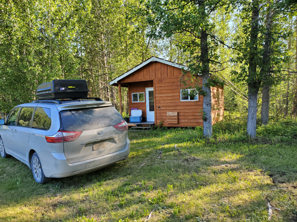
Our hobbled van parked in front of our cozy cabin.

Next post: https://blog.bucksvsbytes.com/2021/08/12/road-trip-21-06-23-fortuitous-tire-repair-allows-return-to-civilization/

Road Trip – 21/06/21 The McCarthy Road, former railroad track.

Prior post: http://blog.bucksvsbytes.com/2021/08/02/road-trip-21-06-20-we-head-south-across-the-alaska-range/

[NOTE: To enlarge any image, right click it and choose “Open image in New Tab” or similar.

We’re up and driving by 6 AM, covering the last 10 miles of paved highway to Chitina (the second “i” is silent: CHIT-na). Before dropping down to the historic village, we skirt a series of picturesque rock cleft lakes.

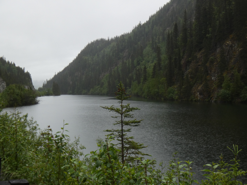
Third Lake above Cjitina, Alaska
Third Lake above Chitina, Alaska

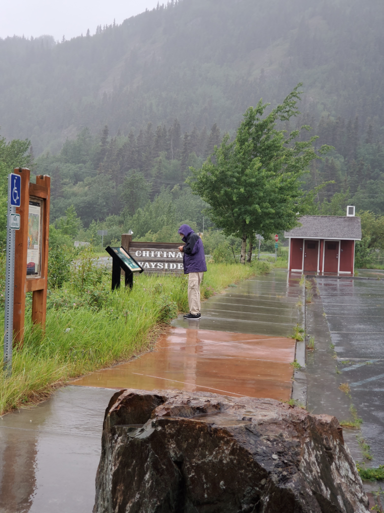
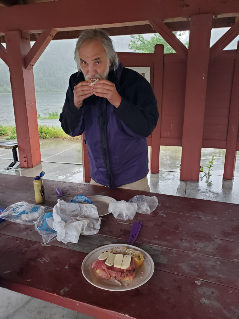
It’s cold, windy, and raining but we stop at the Chitina Wayside to have breakfast under its picnic shelter.

Rainy start to the day in Chitina, Alaska
Breakfast at Chitin Wayside. Cold and wet but out of the rain.
Breakfast at Chitina Wayside. Cold and wet but out of the rain.

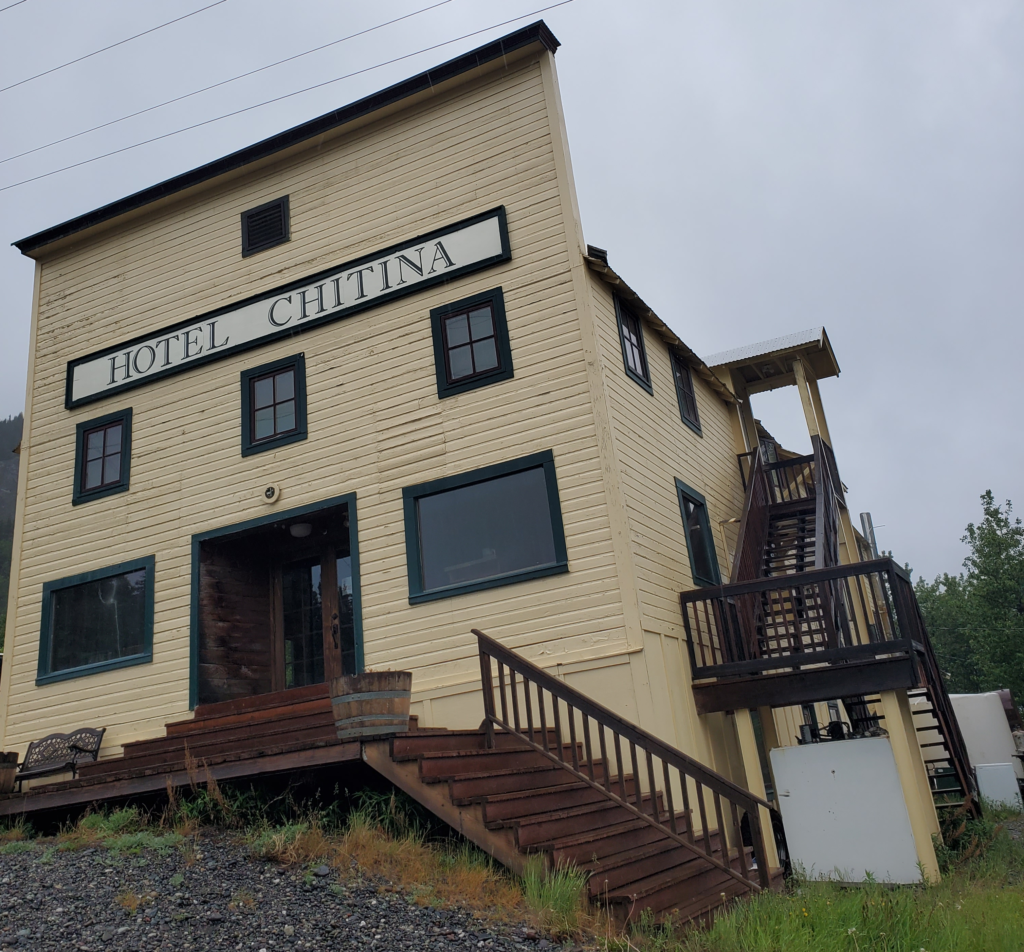
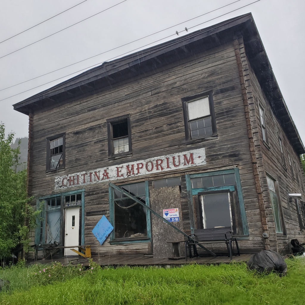
Chitina has some interesting buildings from its long ago bustling past but, at least early Monday morning, very little activity.

Lodging in Chitina.
Lodging in Chitina.
Defunct general store, Cithina, Alaska
Defunct general store, Chitina, Alaska

We’ve been paralleling the Copper River, one of Alaska’s major salmon spawning routes, all the way from Glenallen, but we’ve rarely seen it from the road due to intervening terrain. Here, where the Edgerton Highway ends, we join the route of the old Copper River and Northwestern Railway. This prodigious engineering feat, completed in 1911, ran 200 miles from the coastal port of Cordova to the Kennicott copper strike, through forbidding terrain. The $25 million project cost paid off as the mine generated at least $100 million in profit before closing in 1938, when the railway was shut down but left in place.

One of the many engineering accomplishments was spanning the wide, fast, and variable flow Copper River just past Chitina. The rail trestle sustained severe damage every year, to the point where the railroad preemptively pulled up the track before the spring breakup, rebuilt the pilings after the floods, and replaced the track. After abandonment, the next flood permanently destroyed the structure in 1939.

In order not to strand residents along the rail line, the Alaska Road Commission assumed maintenance of the track and a 1930s aerial tram that allowed people and goods to cross the Copper River where the bridge used to be. Private companies ran rail-converted automobiles along the track.

As the tracks deteriorated, summer travel along the route became limited to bulldozers and other rugged equipment. After statehood, in 1959, the new highway department seriously considered converting the railbed to a McCarthy Road. Contractors pulled up the steel rails and made a very rough one lane jeep trail. It took until 1971 for the state to build a new, permanent highway bridge across the Copper River at Chitina — to this day it’s the only functional bridge along the river’s 300 miles. McCarthy’s few residents and others along the route were once again, however crudely, connected to the highway system. Well, almost. The road ended across the Kennicott River from the tiny settlement because there was no money to replace the washed out railroad trestle. A half mile walk punctuated by two hand operated tram cars across glacial rivers was the final segment of the journey.

This was the state of things when the McCarthy Road first caught my attention. I brought an old Jeep Wagoneer to Alaska when I arrived in 1975 but it was never reliable enough for the off road adventures of which I dreamed. I had renewed hope when I acquired my first Subaru in 1977. It was gaining popularity in the US but my 4-wheel drive DL wagon was still a novelty in Alaska. Detailed inquiries, though, convinced me it didn’t have the ground clearance necessary for the trip. As well, the remaining trestle crossing was so hair raising that many travelers were said to give up at that point and turn back. To my everlasting regret, I never attempted the 62 mile journey before I left the state. It would have been a great adventure.

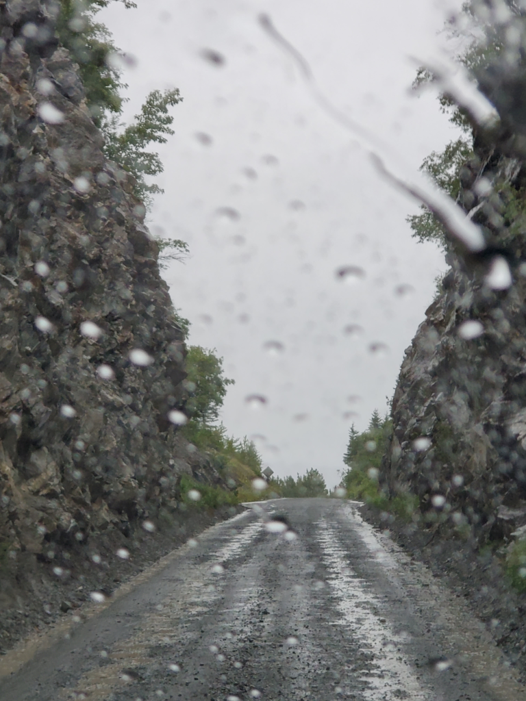
Now is my delayed chance for redemption, although the road has been greatly improved to where any vehicle can make it. Leaving Chitina through an old railroad cut (it used to be a tunnel but the covering rock was removed after maintenance workers were killed inside by falling debris), the road curves down toward the long bridge.

McCarthy Road uses an old railroad cut, formerly a tunnel. Chitina, Alaska

This is our first broad view of the Copper River in many miles. Some of the most prized salmon in the state are caught here as they swim upstream through the opaque water to breed in various small, clear tributaries.

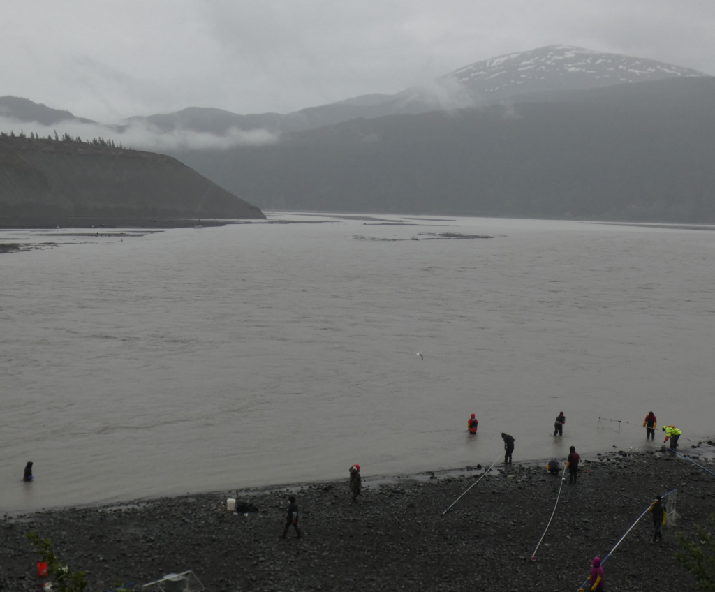
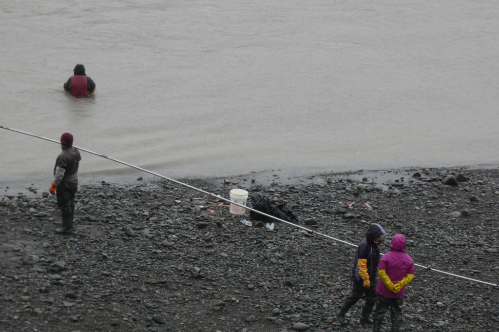
The salmon are running and many people are trying to catch their limit, after which they’ll race home to clean, filet, and freeze them to last through the winter. City and rural, Anglo or Native, to many Alaskans the king salmon runs are a highlight of the year. Here on the Copper River, only two methods are permitted: a fish wheel (mostly used by Alaska Natives) and dip net (used by everyone). Both depend on the silty, opaque water to catch salmon blindly navigating upstream to spawn. If the water were clear, the fish would simply evade the wheels and nets.

Fishwheels are the more technological approach. A large wheel with baskets pointing downstream is anchored in the river. The downstream flow turns the wheel, whose baskets may scoop up salmon swimming upstream into their path. Dipnetting requires less elaborate gear: a large net at the end of a 10-40 foot aluminum poll and quality chest waders.

Dipnetting, however, takes skill and strength… and it can be fatal if mistakes are made. Dipnetters wearing waders walk downstream, chest deep, parallel to the shore, holding their nets perpendicular to it on long horizontal poles. They have to move fast enough for the net to billow out upstream instead of downstream where the current tries to push it. Any salmon coming upstream and running into the net may get tangled in it and be caught.

Picture the situation. You’re walking above your waist in near freezing, fast flowing, opaque water. Should you lose your footing and the river water overtop and fill your waders, you could be lost in a matter of seconds unless someone is right there to try to grab you. If your body goes under the surface, you’ll immediately disappear from sight while you’re weighed down and swept downstream.

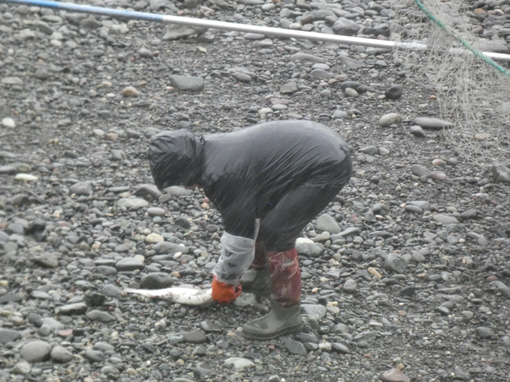
At the end of each traverse, you walk up on the beach, remove a salmon if you’re lucky, and wade downstream again with net deployed. You have to really love salmon to be a dipnetter in Chitina.

Dipnetting for salmon in the Copper River, Chitina, Alaska
Dipnetting is rewarding but not for the faint of heart.
Got one!
Got one!

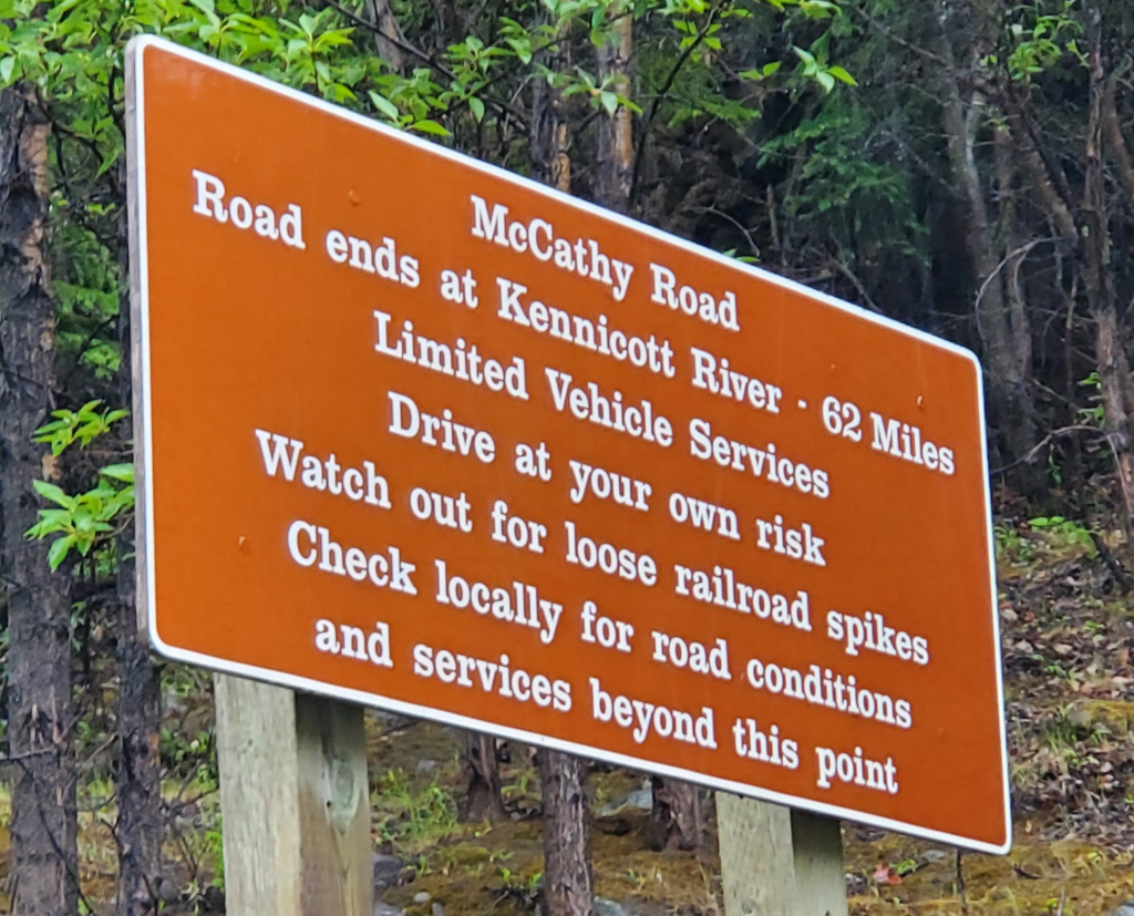
Proceeding across the Copper River bridge, the road turns to gravel and we begin the 62 mile journey to McCarthy. A warning sign tries its best to discourage going further.

Abandon all hope, ye who enter. We'll excuse the typo.
Abandon all hope, ye who enter. We’ll excuse the typo.

The road is built on the old railbed but it starts out uncharacteristically steep for a railway. How did trains make it up from the river? Not easily. Eastbound trains generally had to be split in two so the locomotive could pull the first half to the top, return downhill for the second, and reassemble the full train before proceeding.

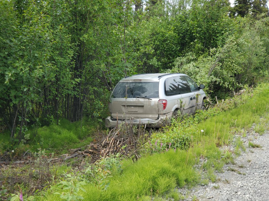
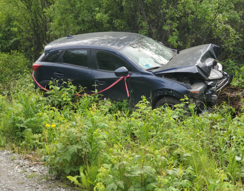
As advertised, the road is in good shape. It’s wide enough for opposing traffic to pass although the shoulders are often several feet above the surrounding terrain. Let your right wheels go just a few inches beyond the road surface and you’re in serious trouble in the woods below the road — if you avoid a full rollover! Sure enough, along the way we pass two vehicles abandoned after just such a mishap.

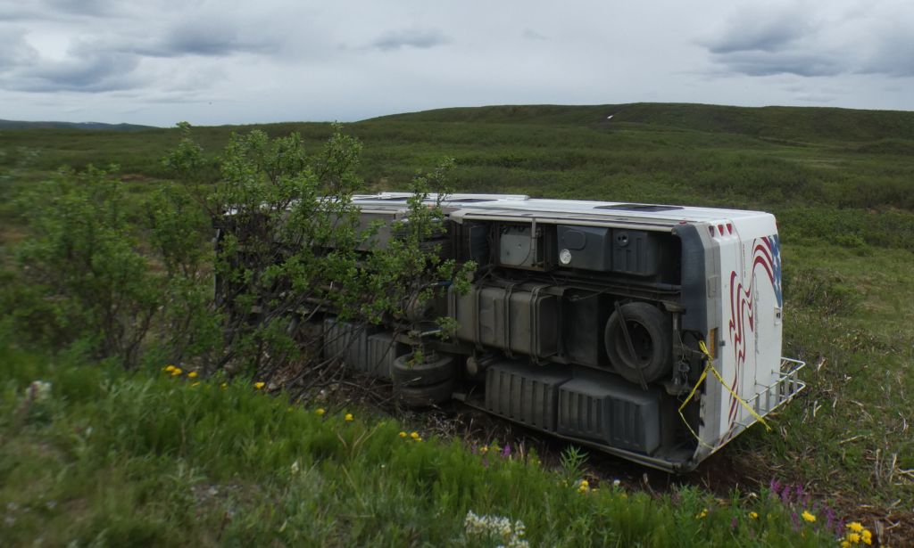
On the McCarthy Road, careless drivers pay the price. The 70 ile tow truck callout is apparently more than the car is worth.
On the McCarthy Road, careless drivers pay the price. The 70 mile tow truck callout is apparently more than the car is worth.
This guy fared even worse.

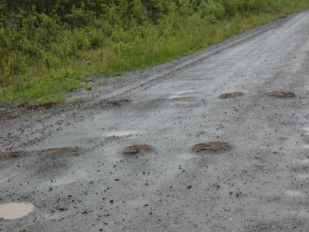
Every so often, where the road is wearing down, we see evidence of railroad ties poking through the gravel. In the early years, accidents caused by driving over railroad spikes were not uncommon, By now, encountering one is very rare.

Original railroad ties poking through the gravel, McCarthy Road

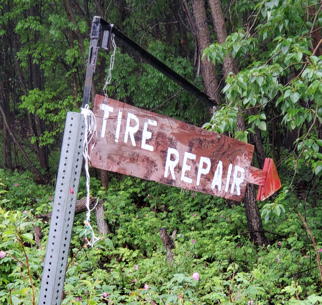
There are no services anywhere between Chitina and McCarthy — except for one flat fixer.

The only service between Chitina and McCarthy -- but an important one.
The only service between Chitina and McCarthy — but an important one.

Sixteen miles in, we come to the Kuskulana Bridge. Here, the railroad spanned a 525 foot valley, 230 feet above the river, on an iron structure. Later, this was crudely converted for automobile use by installing parallel planks on the railroad ties as wheel paths with flimsy wooden “curbs” attached to the outsides. When they heard tires screeching against either curb, the driver knew they weren’t centered on the planks. This daredevil arrangement served for many years, but by all accounts it was a hair raising crossing.

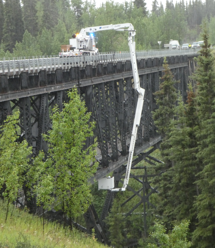
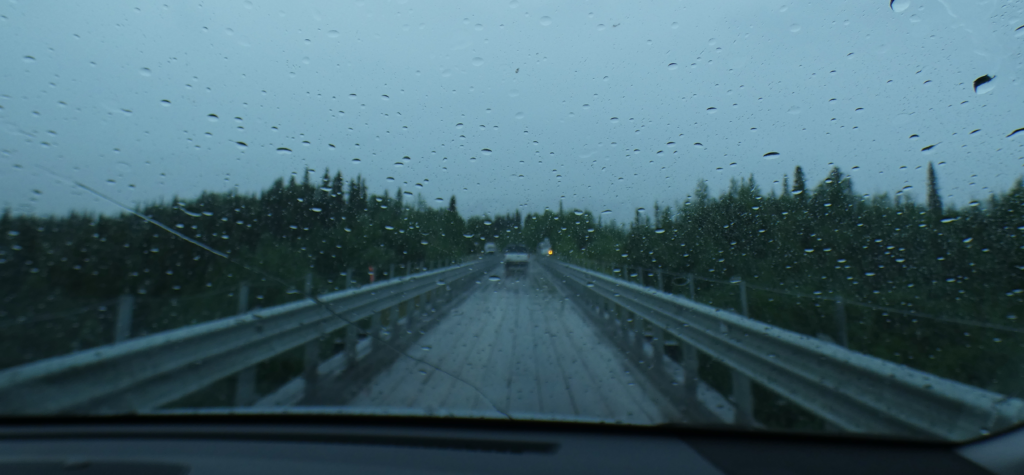
More recently, the bridge has been converted to a safe one lane road with a wood plank driving surface and guard rails. As we arrive, though, traffic is blocked in both directions while a bucket truck moves slowly across with engineers inspecting the original steel substructure. We’re told this is the beginning of a project to build a two lane road across the former one track bridge. Let’s hope they know what they’re doing.

Kuskulina Bridge engineering inspection, McCarthy Road

After about an hour, the inspection is completed and normal one way at a time bridge traffic resumes.

Driving across the Kuskulina Bridge, McCarthy Road.

As I mentioned, the current road is no great challenge and we proceed slowly along, stopping to gawk at whatever looks interesting.

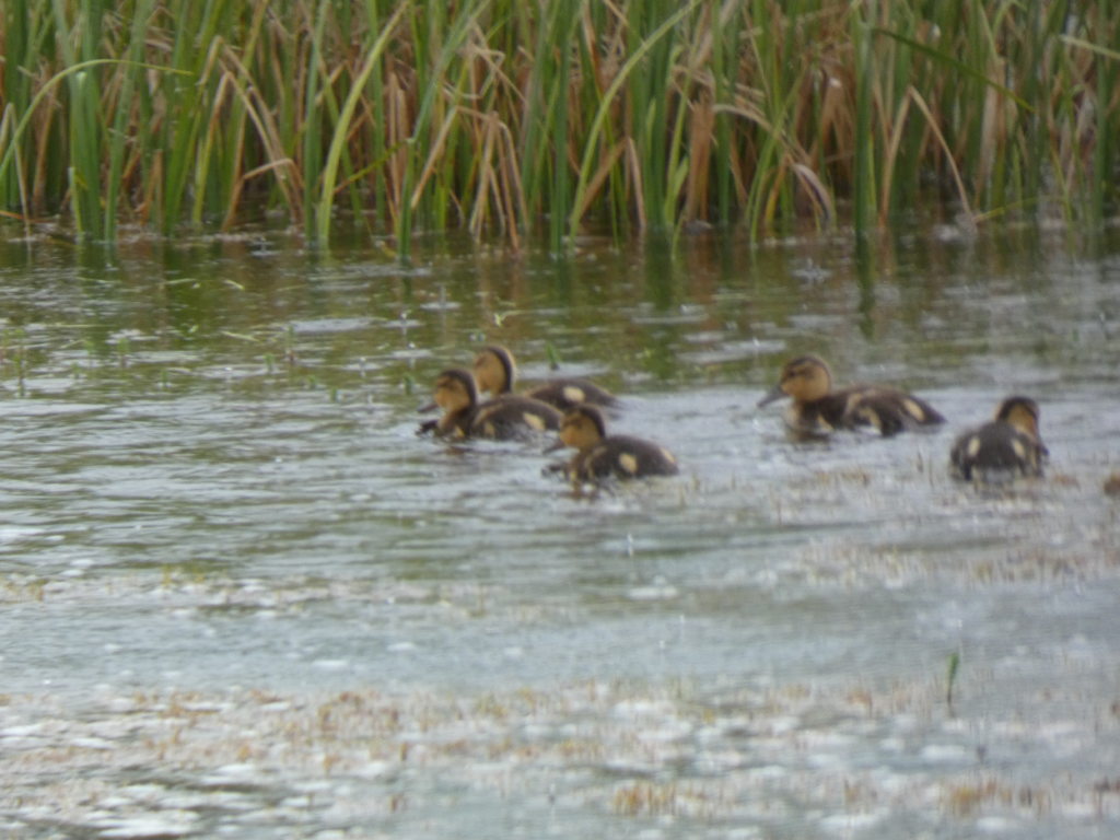
Ducklings, McCarthy Road
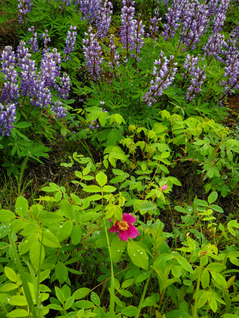
McCarthy roadside flowers.

About halfway along, the road leaves the old right of way to bypass the Gilahina trestle. Long abandoned and visibly sagging, the 880 foot long, 90 foot high, wooden trestle’s main claim to fame is being built in just 8 winter days in 1911, using half a million board feet of timber. I doubt any construction crew today could match that feat.

Abandoned Gilahina Trestle, McCarthy Road, 880 feet long, 90 feet high, 8 days to build in 1911!

As we approach McCarthy, it becomes obvious there’s no public land along the last portion of the road where we can sleep in the van. The one National Park Service trailhead is clearly marked “No Overnight Parking”. Our choices are to pay a lot for a private campsite or pay even more for a cabin. We decide to splurge on the latter and after a number of inquiries at places with no vacancy or no human beings, we find Aspen Meadows B&B. The owner is kicking back after hosting a large group but she graciously offers to forego her rest and clean up one of the cabins for us. We accept her offer and agree to come back in the evening after spending the day in McCarthy.
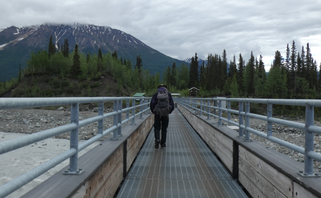
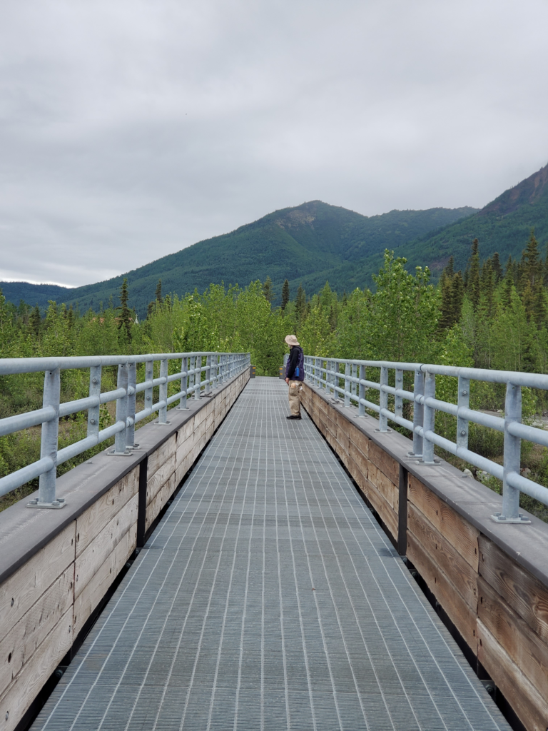
Driving back to the end of the road, we see that reaching the village requires parking in the private lot and walking across the modern footbridge. It crosses two channels of the Kennicott River and was built by the state highway department in 1997 to replace the two hand powered aerial trams used for the prior 15 years. Although the bridge is prominently marked “No Motorized Traffic” ATVs and motorcycles use it freely, along with bicycles and pedestrians.

McCarthy footbridge across the Kennicott River.

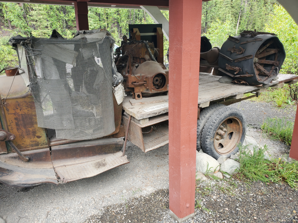
From the far end of the bridge, it’s a short walk to town, so we pass up the van shuttle offering transportation. There’s an exhibit of a kluged together, one of a kind truck built in the 1950s (long before there was a vehicle road) and nicknamed the Rigor Mortis. Its owner used it locally for about 35 years. You know what they say, “Necessity is a mother!”

Rigor Mortis, homemade truck used in old McCarthy

A short walk past old railroad relics and overgrown structures brings us into McCarthy. The community sprung up as a Sin City during the mining era, 1911-1938, to supply all the services prohibited on the property of the nearby Kennecott Mine — alcohol, gambling, and prostitution. When the mine closed, McCarthy became a virtual ghost town until young people seeking adventure and alternate lifestyles started arriving in the 1970s.

The creation of Wrangell-St Elias National Park in 1980 slowly allowed McCarthyites to make a living from adventurous visitors arriving on the rough but passable road. Tourism businesses were started and the summer population grew. Only a couple of dozen people stay through the winter, but today most of the remaining original buildings are in use as hotels, restaurants, and stores. McCarthy is still definitely off the grid, but nowhere near as much as before.

As an “end of the road” locale, the town has borne the brunt of some tragedies perpetrated by disturbed characters at the end of their road. In winter 1983, a part time resident suddenly went on a shooting spree, killing 6 and wounding 2 of the 23 people in town.

With the nearest police 100 miles away by air, the killings were only stopped when one of the wounded managed to knife the murderer, causing him to leave the area on a snowmachine before being apprehended late that day.

In 2002, a patriarch and 10 of his children unexpectedly arrived in town in two pickup trucks. For anyone to drive to McCarthy in January was highly unusual, much less a big group in two open trucks. This was the Pilgrim family looking for a new home away from bad influences. The deeply religious group made a good impression in McCarthy and in the spring they returned full strength to take up residence, 2 parents and their 15 children. Over time, the initial support of other townspeople weakened. The family operated almost as a cult. The father, known as Papa Pilgrim, prevented his children from socializing with anyone so as not to have them ruined and was the face of the clan to the outside world. He ran afoul of the Park Service, often seen as the enemy by rural Alaskans but attitudes toward the family gradually turned mixed. The culmination came in 2005 when, despite their isolation from other townspeople, a family blowup exposed that for many years Papa had brainwashed and terrorized his wife and children and was having an incestuous relationship with a teenage daughter. He was sent to jail and died in 2008, leaving his giant family to figure out a new life for themselves after years of trauma and without his domineering presence.

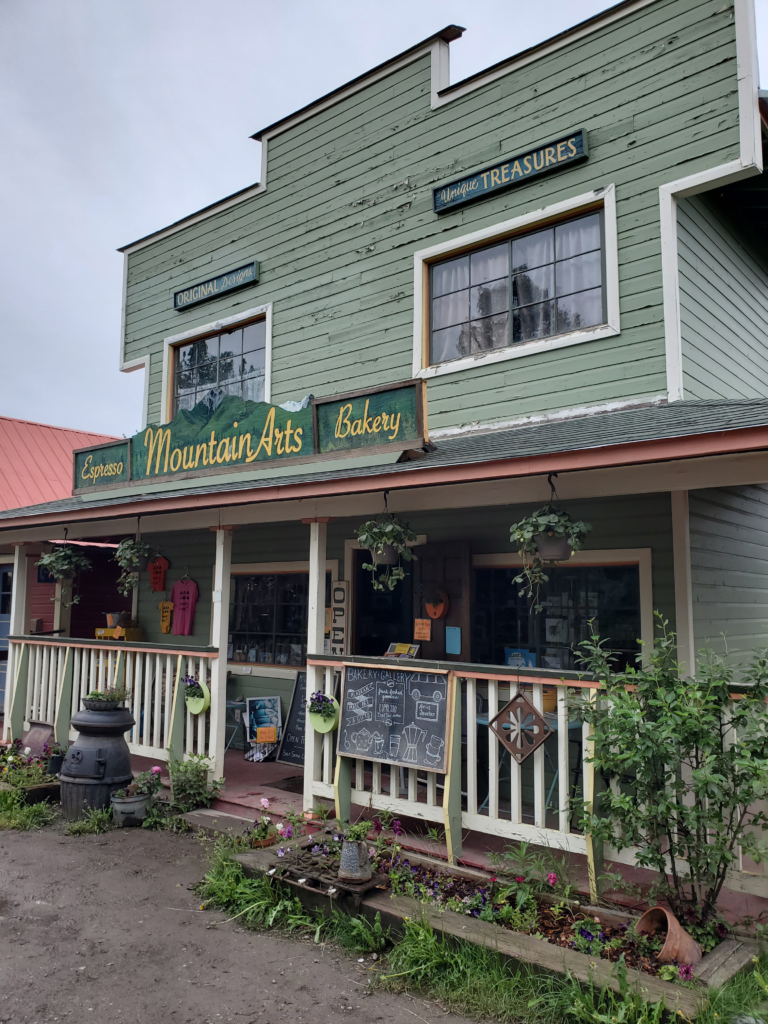
We stop in at a bakery/gift shop. Although their food offerings are almost non-existent, we have a long conversation with the young woman working the counter. Like most people in town, she’s here only as a summer job and will return Outside (the Lower 48) long before winter.

Way more art than bakery, McCarthy, Alaska

We decide to have dinner at one of the two restaurants, sitting outdoors in the cool air. The food is quite good but, understandably, expensive in this remote location. For dessert, we buy the 2 cinnamon buns still on the bakery shelf. Nibbling on them as we walk down the road, we determine the friendly atmosphere is way better than the product.

At the end of the street is the old railroad station, now the McCarthy museum. The volunteer inside is helpful in interpreting the exhibits and artifacts. It’s what I call an “attic museum”, a very modestly curated collection of items, photographs, and clippings haphazardly dredged up from various locals. Still quite interesting, though, if you take the time to study the pieces and ask questions.

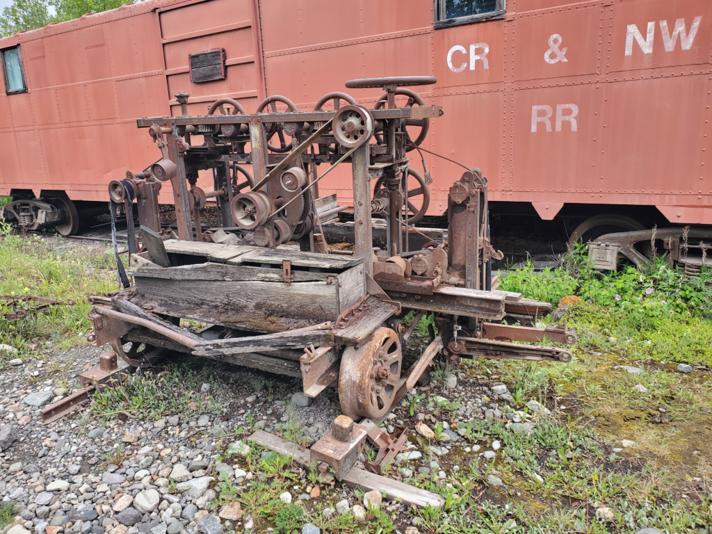
Motorized railroad work car, McCarthy, Alaska
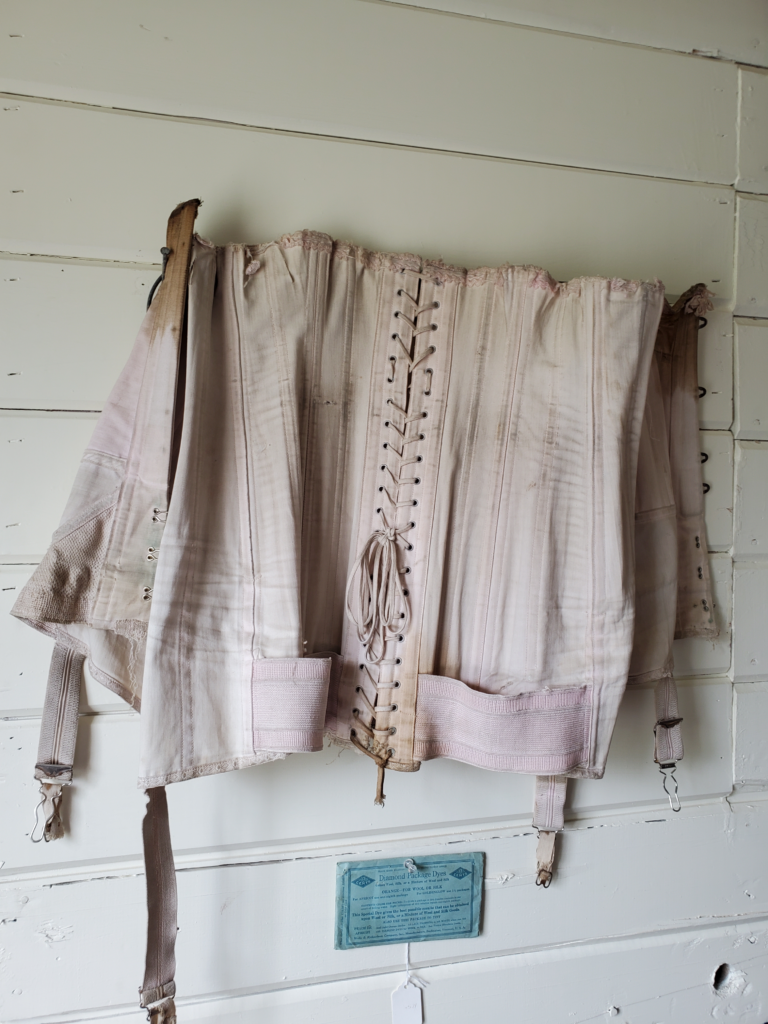
Corset, McCarthy Museum.
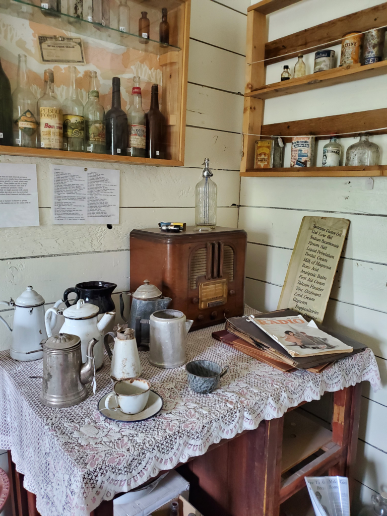
Kitchen miscellany, McCarthy Museum
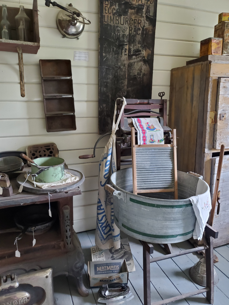
Kitchen items, McCarthy Museum

After checking out the remaining few yards of the street, including a period hotel and the world’s most unsatisfying grocery store, we walk back to the footbridge.

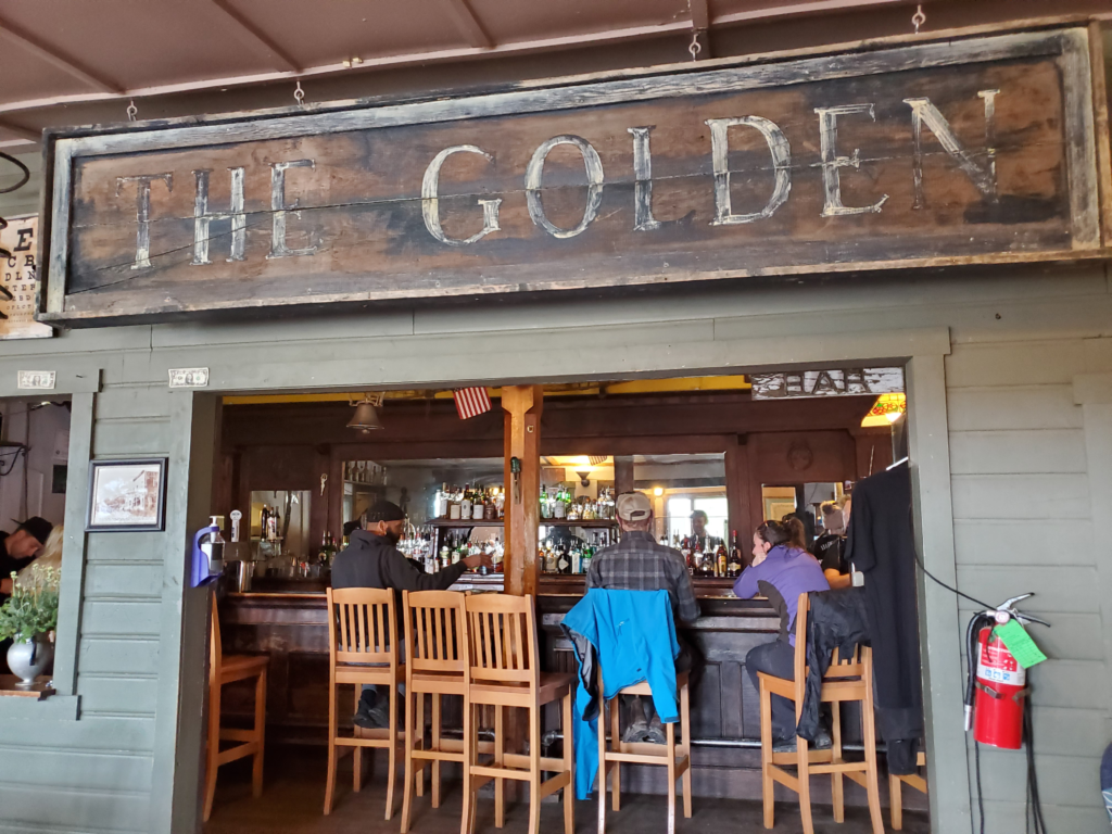
Golden Saloon, McCarthy, Alaska
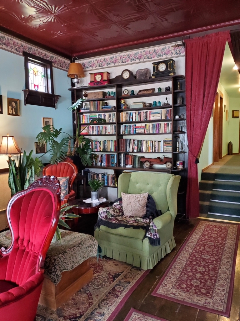
Lobby of Ma Johnson's Hotel, McCarthy, Alaska
Lobby of Ma Johnson’s Hotel, McCarthy, Alaska
Half of the restaurants in McCarthy, Alaska

Retrieving the van, we drive the few miles to our pleasant cabin. Tomorrow will be our major sightseeing day in the area, so we call it an evening relatively early despite the endless daylight.

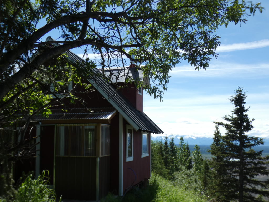
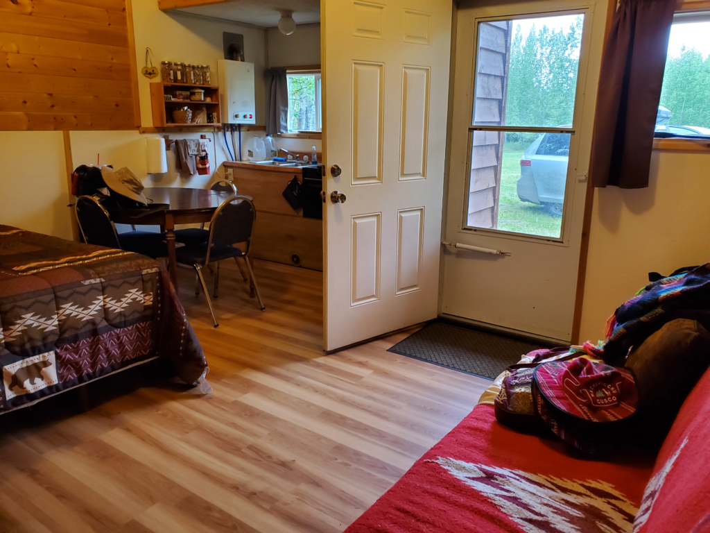
Cozy cabin at Aspen Meadows, near McCarthy, Alaska

Next post: http://blog.bucksvsbytes.com/2021/08/10/road-trip-21-06-22-twentieth-century-yankee-ingenuity-the-kennecott-copper-mine-and-a-difficult-problem-in-mccarthy/

Road Trip – 21/06/20 We Head South Across the Alaska Range

Prior post: http://blog.bucksvsbytes.com/2021/07/30/road-trip-21-06-19-arctic-weather-forecast-changes-our-route/

[NOTE: To enlarge any image, right click it and choose “Open image in New Tab” or similar.

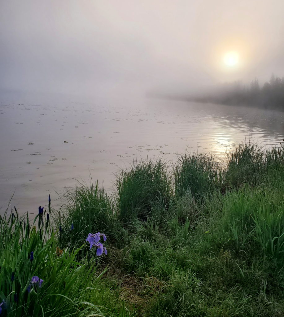
Thanks to the sun merely dipping below the northern horizon, last night’s Birch Lake sunset has morphed into an equally beautiful sunrise. Our roadside snooze was only 5 hours long. In Alaska, no one sleeps much during the long summer days, which is not to say that doesn’t take its toll on the body.

Long Alaska days mean sleep deficits
Sunrise at Birch Lake, Alaska

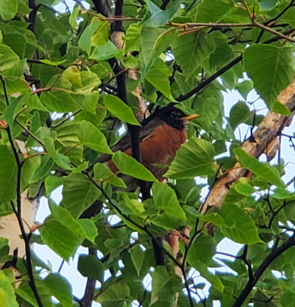
As we crawl out of the van, we’re greeted by the cheerful song of an Alaska robin…

Robin early AM at Birch Lake, Alaska

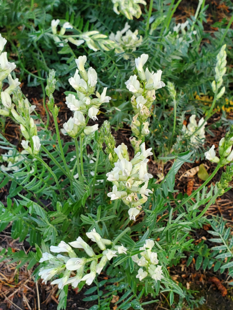
…and a patch of blooming wildflowers.

Morning wildflowers, Birch Lake

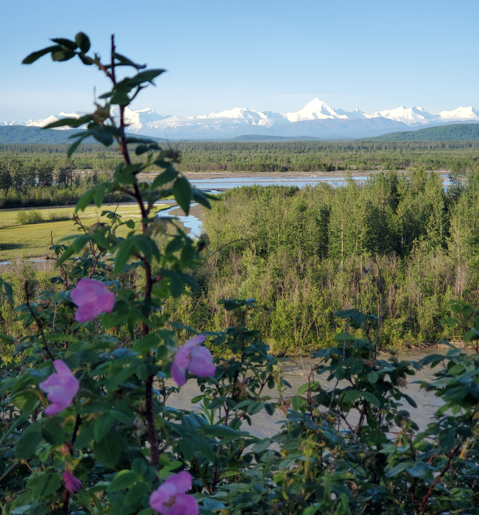
As we resume driving, the road converges again with the Tanana River, affording us a view to the south of the Alaska Range. 20,000 foot Mt Denali lies 200 miles to the west along the arcing spine of the range but we’re seeing more “modest” peaks, rising only to about 12,000 feet. We plan to cross those mountains through a low pass later today.

Eastern Alaska Range across the Tanana River

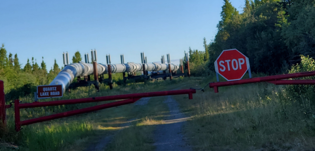
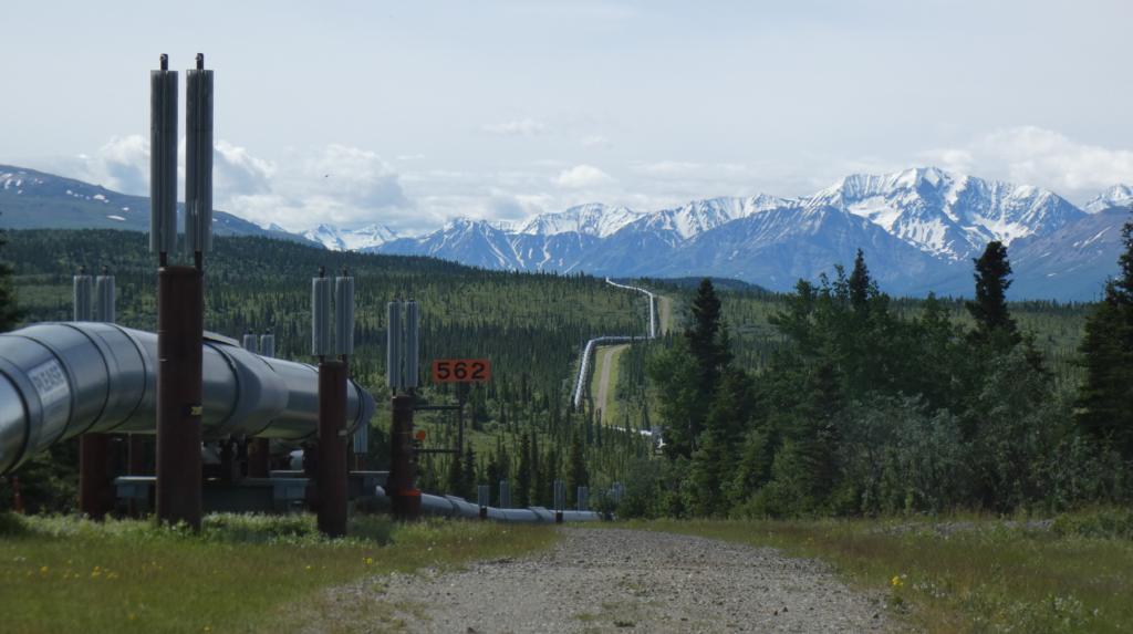
Dawdling along down the Richardson Highway, we take the time to explore a side road to Quartz Lake. Here, Susan gets the first of many views to come of the Trans Alaska Pipeline, which has been paralleling our route between Fairbanks and Valdez, its terminus.

Susan's first view of the Trans Alaska Pipeline
Susan’s first view of the Trans Alaska Pipeline

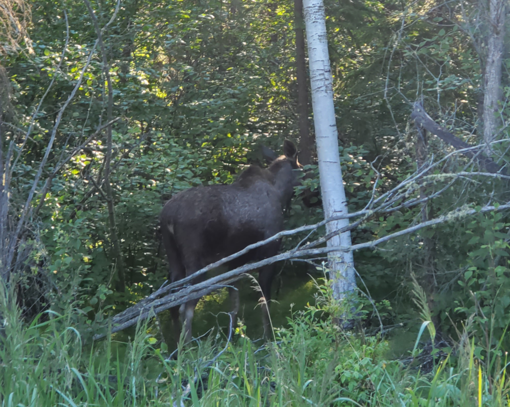
She also gets her first glimpse of an Alaska moose as it slips into the forest at our approach.

Cow moose seeking privacy, Quartz Lake, Aaska

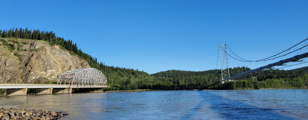
Shortly thereafter, we reach the big bridge across the Tanana River with its adjacent span carrying the pipeline across.

Paired bridges, highway and pipeline, acros the Tanana River

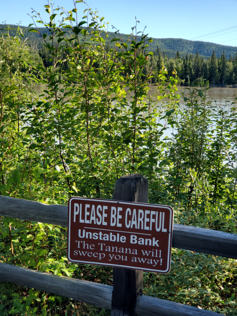
The Tanana is high volume, swiftly flowing, opaquely silty, and very cold thanks to its glacial meltwater origins. Standing too close to the water is likely fatal if the mudbank under your feet should collapse at the wrong moment. I’m always conscious of that in this situation and I explain the danger to Susan, too.

Heed the Tanana River safety warning!

The Richardson Highway was the first route suitable for wagons, and then trucks, to bring goods into interior Alaska from ocean ports. It started out as 400 mile pack trail to the gold fields in Eagle, Alaska and by 1910 the US Army upgraded it to a wagon road connecting Valdez and Fairbanks, Because the trip was slow and arduous at first, a substantial number of roadhouses were established to supply food and shelter on the long journey.

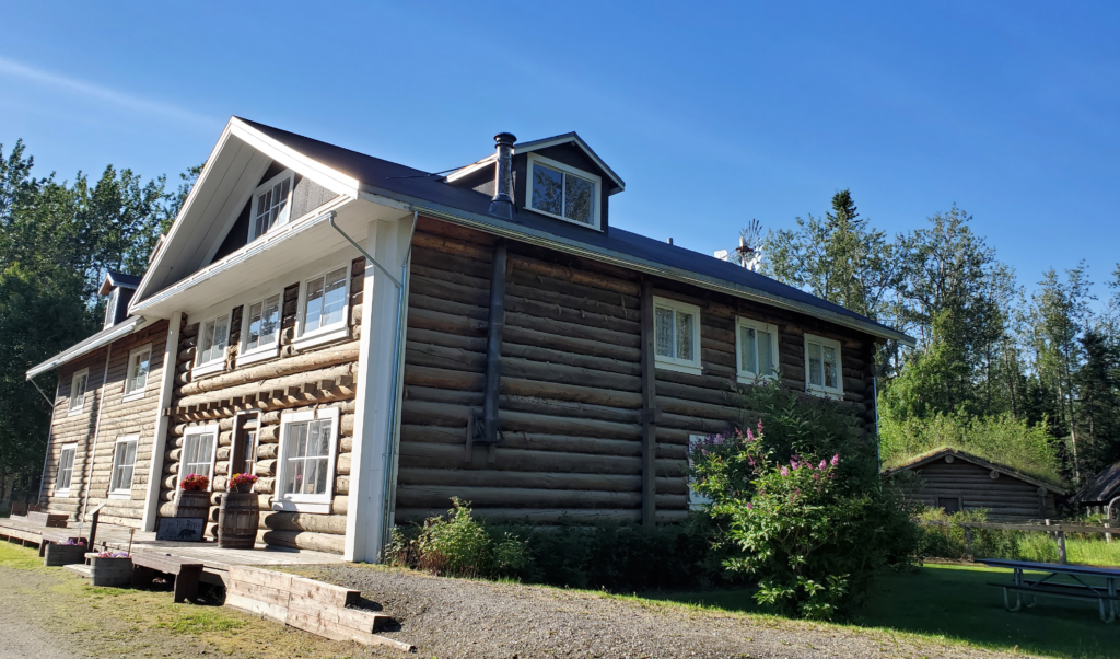
One of these is Rika’s Roadhouse, preserved in the Big Delta State Historical Park here along the shoreline. Until the first bridge across the Tanana River was built in the 1940s, the Richardson Highway required a ferry crossing here, making the riverbank a lucrative place for a roadhouse. Rika Wallen was the last operator and when Rika’s closed around 1950, she continued to live there until her death in 1969. Due to the short time span, the property was relatively easy to preserve and restore as an historical attraction ten years later.

Rika's Roadhouse
Rika’s Roadhouse

Today, you can tour buildings, grounds, and artifacts in an environment somewhat similar to the active roadhouse days. We’re here early in the morning, so the buildings are closed and the park deserted, but walking the grounds and reading the interpretive signs, you can really imagine how it was.

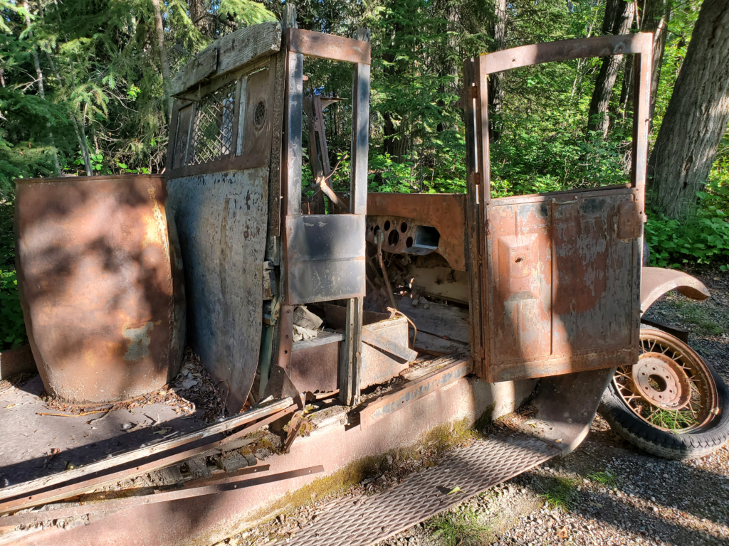
Old truck at Rika's Roadhouse
Old truck at Rika’s Roadhouse

An interesting episode occurred starting in 1935. The only competing route to Fairbanks was the federal railroad from Seward. By that year, trucking up the Richardson was substantially faster and cheaper, so the railroad was losing a lot of money. To compensate, the feds instituted fees per ton for the highway. Truckers refused to pay, so the fees were collected as the ferry fare. This caused the truckers to use the ferry without permission. After some years of this, a US Marshal traveled to the Tanana in 1940 and arrested 14 men. While they were in court, other truckers took away the shotgun of the marshal left to guard the ferry, locked him in the scale house, and transferred 10 loads of cargo across the river. When done, they released the marshal and his firearm. The sympathies of Fairbanksans were clearly on the side of the truckers — a grand jury refused to indict the marshal’s captors and a trial jury found the first 14 truckers not guilty. In 1941, the truckers built and operated their own “pirate” ferry to avoid the tolls. The government then built a toll gate 12 miles north of the river to collect tolls there. Truckers pulled down the gate! Some of that same renegade spirit is still evident today.

As the highway improved, cutting the travel time to Fairbanks from nine days or more to just two, most of the roadhouses were no longer needed and went out of business or tried to cater to tourists.

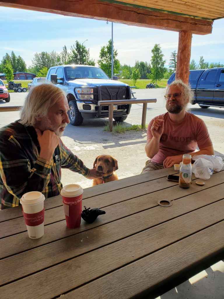
Leaving Rika’s, we’re really getting hungry so we stop at the IGA market in Delta Junction and find good pastries for sale at their coffee counter. While eating at their outdoor picnic table, we strike up a conversation with another coffee drinker who turns out to be a Swiss glaciologist who’s spent years in Alaska researching the mechanics of glacial flow. Almost everyone you encounter in Alaska has an interesting story of some sort.

Chance breakfast with a Swiss glaciologist, Delta Junction, Alaska

So far we’ve been heading toward the Canadian border, but now we turn due south toward Valdez. This is one of my favorite Alaska highways (the state only has about a dozen major ones) and I drove it many times in the old days. We’ve been paralleling the Alaska Range but now we head straight for it. Shortly after the turnoff, we pass Fort Greely. Founded in 1942 shortly after completion of the Alcan Highway, its airfield was one of a series along that road used to shuttle military aircraft and supplies to the far east of the Soviet Union (USSR). The Russians were our allies against the German and Japanese in World War II.

With the war over and the Cold War with the USSR taking shape, the military understood that it was vital to develop cold weather combat capability. Situated in one of coldest, road-accessible areas in wintertime Alaska, Fort Greely was designated in 1946 as the center for testing polar combat techniques and equipment. This testing and training continues through the present day. Now, it may come to prominence again as a site for the new generation of missile interceptor missiles designed to counter North Korea’s advancing ballistic missile technology.

We can’t visit the base of course so we pass the entrance on our left, heading up the broad, glacial Delta River valley. The Trans Alaska Pipeline is frequently in view from the highway and crosses it periodically.

Trans Alaska Pipeline heading for the Alaska Range

With the distant snow capped Alaska Range becoming more dramatic as we approach, we pass Donnelly Dome, a free standing hill along the highway. This was the scene of a memorable, actually notorious, 1976 camping trip. After driving 300 miles from Anchorage to camp for the weekend without facilities, we discovered I had packed everything we needed — except the sleeping bags. We had a very makeshift couple of nights staying warm in the tent and I never lived down the embarrassment.

Donnelly Dome, south of Delta Junction, Alaska
Approaching the Alaska Range along the Richardson Highway

At one pullout, formerly (for reasons I’m about to explain) signed as “Black Rapids Glacier” we turn off to a view eastward across the broad north-south Delta valley to an almost as broad one issuing westward out of the mountains. This valley was formerly filled by the Black Rapids Glacier, a surge-type that periodically moves up to 100 times faster than its normal “glacial” (get it?) pace. In 1936-37, it moved so fast that it garnered the nickname the Galloping Glacier and there were fears it might advance far enough to dam the Delta River and flood the main valley to the south causing substantial disruption. In my Alaska days, it was no longer advancing but was very prominent from this viewpoint.

Valley that used to filled with the Black Rapids Glacier

For those unfamiliar with glacial dynamics, some explanation might be of interest. At any rate, interested or not, you’re getting it: All glaciers are rivers of ice. They flow down hill at very slow speeds, similar to water rivers but thousands or millions of times more slowly. If a glacier goes over a rock cliff, it forms an icefall instead of a waterfall. If its valley turns a corner, a circular flow may form, just as an eddy can form at a river bend.

A big difference between glaciers and rivers is the type of landscape they create. A river, relative to its valley, is basically a thin thread. Flowing water is a powerfully erosive force so it carves its valley more or less vertically downward in a single line. Rivers form V-shaped valleys. I’ll skip explaining why they’re usually Vs instead of simple vertical canyons.

A glacier, by contrast, fills its valley with ice. As it flows downhill that massive, slow moving mass grinds away at the sides and bottom of its valley, picking up gravel and plucking giant rocks from the bedrock. This material gives the glacier even more erosive power.

Glaciers carve large U-shaped valleys because they’re very efficient at quickly scouring large amounts of rock simultaneously from both sides and the bottom of the valley.

So if all glaciers flow downhill, what is this talk of “glacial retreat”? It’s simple to understand once you realize that what’s retreating is the face of the glacier, not the glacier itself. Near the top, where snowfall is heavy and temperatures average well below 32 F, far more ice forms than melts every year. The weight of this ice forces the glacier to flow downhill.

But every glacier, even those in Antarctica, eventually gets down to an elevation where the weather is warm enough to melt more ice than arrives from uphill. At any given time there’s a point where exactly as much ice is melting as is arriving from above. That is where the face of the glacier forms. If conditions don’t change, the glacier is still flowing downhill but the face stays right where it is.

Now, suppose the average weather along the glacier is warming over the years, as we’ve been seeing in many parts of the world since the Industrial Revolution. Warmer weather down low can dramatically increase melting. If the weather up top does not supply additional ice, or supplies less than before, the lower glacier melts faster than can be replaced and the face retreats up the valley. — even though the ice is always moving downhill.

If the weather warms enough so the face retreats to the very top of the glacier, poof — no more glacier!

Black Rapids glacier could some day start surging again, but the warming climate would likely offset that surge with increased melting. Since I last saw it in 1983, the face of the glacier has receded several miles up from the valley mouth and around a bend and is no longer visible at all from the road.

OK. End of lecture.

At the viewpoint, we meet a couple where the husband is an Alaska Native and the wife a Floridian. They flew up on vacation and are paying the horrific rental rate on one of the new RVs I saw being shuttled up the Alaska Highway a week ago. It’s their only option, since rental cars are in very short supply, and thus very expensive, after companies sold off much of their fleets during the Covid lockdowns. It makes me very glad I managed to get my van up here through Canada despite the border closure.
Couple on an RV vacation, Black Rapids Glacier

We’re now approaching Isabel Pass through the Alaska Range. Although the pass is at a modest 3,300 feet elevation, the road runs above treeline for about 80 miles. This far north, 1000 feet of elevation yields a substantially different climate. Frigid temperatures, drifting snow, and isolation can make this stretch of highway particularly dangerous in winter despite heroic levels of plowing.

Careless RV driver near Isabel Pass, Alaska

On the other side of the pass are Summit and Paxson Lakes, popular summer boating and winter snowmachining recreation areas.

Above the treeline at 2200 feet, SUmmit Lake, Alaska

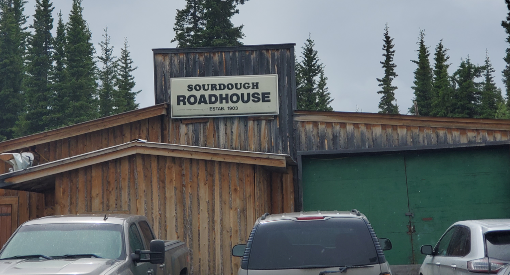
Finally, we descend back below treeline as we drop down toward the Gakona River. Here we pass one of my favorite roadside stops, the historic Sourdough Roadhouse. When I lived in Alaska, they offered all you can eat sourdough pancakes, all day long. This is where I learned to appreciate sourdough cookery. On several occasions I drove up to 70 miles out of my way to chow down at the roadhouse. Forty years later, to my disappointment, although the “Sourdough Roadhouse” sign is still displayed, the building is clearly a private residence.

Nothing functional left of this historic roadhouse except the sign

A further 30 minutes brings us to the small junction town of Glenallen, where we can turn right for Anchorage — not today — or straight on to Valdez, which is a 120 mile dead end unless you put your vehicle on an Alaska Marine Highway ferry. Susan finds a Thai restaurant in Glenallen and that means a mandatory stop for Thai iced coffee. I don’t get why it’s so special, except for the high price, because it seems to just be coffee, evaporated milk, and sugar. I can do that at home but Susan is surprised and happy to have found it in rural Alaska. We’ll be coming through here numerous times this summer and I joke that she’ll be recognized as a regular and just order “the usual”.

We start down the road toward Valdez, but first I have a special side trip in mind. 90 miles to the east of the highway lies McCarthy, a tiny town adjacent to the immense but long abandoned Kennecott Copper Mine. For reasons I’ll explain in the next post, I never visited McCarthy when I lived in Alaska. This is my chance.

The first step is to drive the Edgerton Highway, 33 miles of now modern road that ends in Chitina, a native village and former railroad town. We turn off the Richardson Highway and proceed east. The first portion is the original alignment which has been bypassed by a newer paved road. It’s raining rather heavily, so the unpaved version we’re on is quite muddy but not a problem with careful driving. Rejoining the paved version, we move along uneventfully through typical forest terrain. We should be seeing views of the very dramatic Wrangell Mountains to the north, but the rainy weather precludes those.
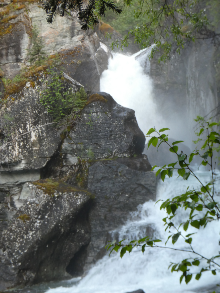
Although we’ve only covered 260 miles today, we’ve dawdled and gawked and been distracted by the wildly varied scenery, so it’s time to sleep for a while. Just when we decide that, we happen on Liberty Falls campground. It’s namesake falls are gushing out of a bedrock slot, dropping about 20 feet with the flow divided in two by a large outcrop that hasn’t yet succumbed to the falls’ erosive power. It’s very picturesque and powerful so we wander around to various perspectives and appreciate the scene. There’s a campground here but since we’re sleeping in the van there isn’t much point to paying the fee.

Liberty Falls along the Edgerton Highway, Alaska

After an hour or so, we proceed a few miles along the highway and find a secluded road stub that gets us out of sight of the pavement. Here we work quickly to get ready to sleep, but still allowing a hundred or so mosquitoes to join us by the time the doors close for the night. The first half hour is spent watching and listening for the little buggers so we can slap them down before being bitten all night long. Success largely achieved, we get some rest, waking only occasionally when the dread hum of a remaining mosquito buzzing our eardrum strikes momentary terror and foul language as a further effort to squash the intruder ensues.

Next post: https://blog.bucksvsbytes.com/2021/08/06/road-trip-21-06-21-the-mccarthy-road-former-railroad-track/